Distance to Wales, Iowa

Calculating Your Route
Just a moment while we process your request...
Location Information
-
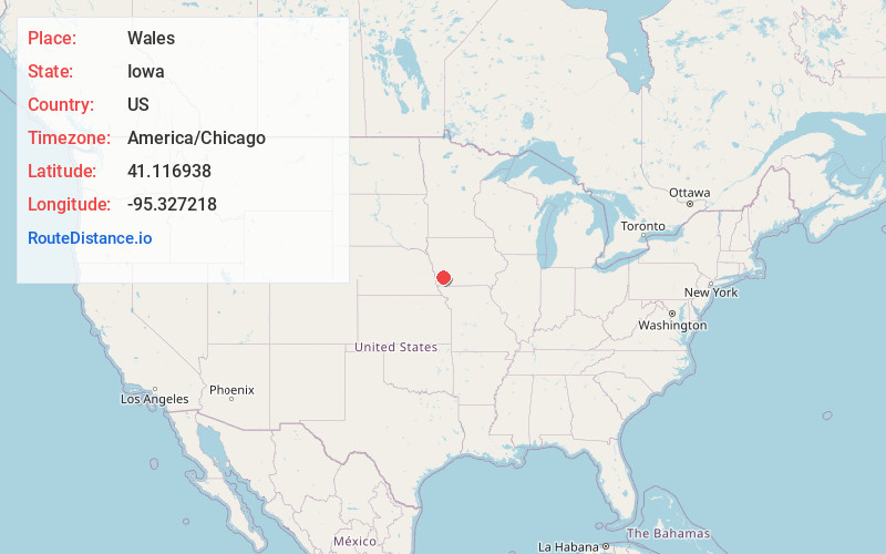
Full AddressWales, IA 51533
-
Coordinates41.1169381, -95.3272181
-
LocationIowa , US
-
TimezoneAmerica/Chicago
-
Current Local Time1:19:50 AM America/ChicagoThursday, June 19, 2025
-
Page Views1
Nearby Places
Found 10 places within 50 miles

Henderson
5.6 mi
9.0 km
Henderson, IA 51541
Get directions
Stennett
7.2 mi
11.6 km
Stennett, IA 51566
Get directions
McPherson
7.3 mi
11.7 km
McPherson, IA 51566
Get directions

Macedonia
7.3 mi
11.7 km
Macedonia, IA 51549
Get directions

Emerson
7.9 mi
12.7 km
Emerson, IA 51533
Get directions

Elliott
8.8 mi
14.2 km
Elliott, IA 51532
Get directions

Red Oak
8.8 mi
14.2 km
Red Oak, IA 51566
Get directions

Montgomery County
9.0 mi
14.5 km
Montgomery County, IA
Get directions

Carson
9.5 mi
15.3 km
Carson, IA 51525
Get directions
Hastings
11.0 mi
17.7 km
Hastings, IA 51540
Get directions
Location Links
Local Weather
Weather Information
Coming soon!
Location Map
Static map view of Wales, Iowa
Browse Places by Distance
Places within specific distances from Wales
Short Distances
Long Distances
Click any distance to see all places within that range from Wales. Distances shown in miles (1 mile ≈ 1.61 kilometers).