Distance to Walhalla, North Dakota

Calculating Your Route
Just a moment while we process your request...
Location Information
-
Full AddressWalhalla, ND 58282
-
Coordinates48.9233284, -97.9181477
-
LocationWalhalla , North Dakota , US
-
TimezoneAmerica/Chicago
-
Current Local Time4:19:47 PM America/ChicagoFriday, June 20, 2025
-
Page Views0
About Walhalla
Walhalla is a city in Pembina County, North Dakota, United States. It sits on the banks of the Pembina River, five miles from the border with Manitoba and approximately 45 mi from the border with Minnesota. The population was 893 at the 2020 census.


Location Links
Local Weather
Weather Information
Coming soon!
Location Map
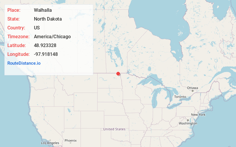
Static map view of Walhalla, North Dakota
Browse Places by Distance
Places within specific distances from Walhalla
Short Distances
Long Distances
Click any distance to see all places within that range from Walhalla. Distances shown in miles (1 mile ≈ 1.61 kilometers).