Distance to Walker, Michigan

Calculating Your Route
Just a moment while we process your request...
Location Information
-
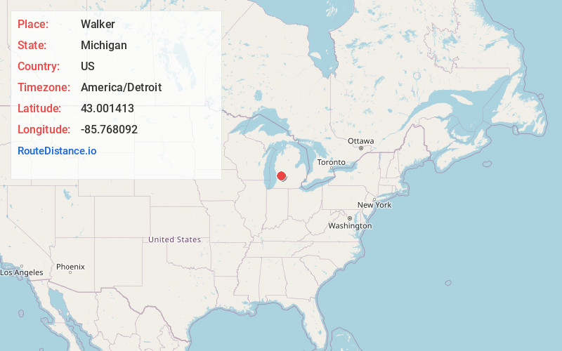
Full AddressWalker, MI
-
Coordinates43.0014133, -85.7680915
-
LocationWalker , Michigan , US
-
TimezoneAmerica/Detroit
-
Current Local Time11:25:10 PM America/DetroitSaturday, June 21, 2025
-
Page Views0
About Walker
Walker is a city in Kent County in the U.S. state of Michigan. A suburb of Grand Rapids, Walker borders the city to the north and west. As of the 2020 census, the city had a population of 25,132.
Walker was originally organized as Walker Township in 1837 and later incorporated as a city in 1962.


Nearby Places
Found 6 places within 50 miles

Grand Rapids
5.3 mi
8.5 km
Grand Rapids, MI
Get directions

Wyoming
6.9 mi
11.1 km
Wyoming, MI
Get directions

Kentwood
11.0 mi
17.7 km
Kentwood, MI
Get directions

Forest Hills
14.9 mi
24.0 km
Forest Hills, MI
Get directions

Holland
22.6 mi
36.4 km
Holland, MI 49423
Get directions

Muskegon
29.1 mi
46.8 km
Muskegon, MI
Get directions
Location Links
Local Weather
Weather Information
Coming soon!
Location Map
Static map view of Walker, Michigan
Browse Places by Distance
Places within specific distances from Walker
Short Distances
Long Distances
Click any distance to see all places within that range from Walker. Distances shown in miles (1 mile ≈ 1.61 kilometers).