Distance to and from Walkertown, Kentucky
Walkertown, Hazard, KY 41701
Hazard
Kentucky
US
America/New_York
Location Information
-
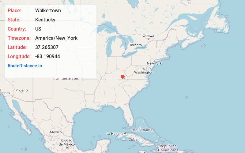
Full AddressWalkertown, Hazard, KY 41701
-
Coordinates37.265307, -83.1909443
-
NeighborhoodWalkertown
-
LocationHazard , Kentucky , US
-
TimezoneAmerica/New_York
-
Current Local Time12:15:20 AM America/New_YorkThursday, May 8, 2025
-
Page Views0
Directions to Nearest Cities
Nearby Places
Found 10 places within 50 miles

Hilton
0.9 mi
1.4 km
Hilton, KY 41701
Get directions

Hazard
1.1 mi
1.8 km
Hazard, KY
Get directions

Combs
1.2 mi
1.9 km
Combs, KY
Get directions
Darfork
1.3 mi
2.1 km
Darfork, KY 41701
Get directions
Airport Gardens
1.6 mi
2.6 km
Airport Gardens, KY 41701
Get directions
Lothair
1.7 mi
2.7 km
Lothair, Hazard, KY 41701
Get directions
Christopher
2.4 mi
3.9 km
Christopher, Diablock, KY 41701
Get directions
Diablock
2.8 mi
4.5 km
Diablock, KY 41701
Get directions
Bulan
2.9 mi
4.7 km
Bulan, KY 41722
Get directions

Bonnyman
3.0 mi
4.8 km
Bonnyman, KY 41719
Get directions
Hilton
0.9 mi
1.4 km
Hilton, KY 41701
Hazard
1.1 mi
1.8 km
Hazard, KY
Combs
1.2 mi
1.9 km
Combs, KY
Darfork
1.3 mi
2.1 km
Darfork, KY 41701
Airport Gardens
1.6 mi
2.6 km
Airport Gardens, KY 41701
Lothair
1.7 mi
2.7 km
Lothair, Hazard, KY 41701
Christopher
2.4 mi
3.9 km
Christopher, Diablock, KY 41701
Diablock
2.8 mi
4.5 km
Diablock, KY 41701
Bulan
2.9 mi
4.7 km
Bulan, KY 41722
Bonnyman
3.0 mi
4.8 km
Bonnyman, KY 41719
Location Links
Local Weather
Weather Information
Coming soon!
Location Map
Static map view of Walkertown, Kentucky
Browse Places by Distance
Places within specific distances from Walkertown
Short Distances
Long Distances
Click any distance to see all places within that range from Walkertown. Distances shown in miles (1 mile ≈ 1.61 kilometers).