Distance to Walkertown, Tennessee

Calculating Your Route
Just a moment while we process your request...
Location Information
-
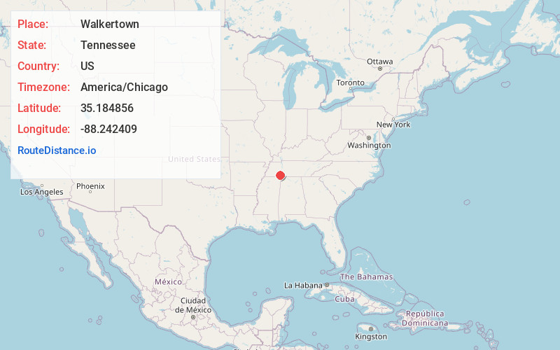
Full AddressWalkertown, TN 38372
-
Coordinates35.184856, -88.242409
-
LocationWalkertown , Tennessee , US
-
TimezoneAmerica/Chicago
-
Current Local Time4:20:08 AM America/ChicagoWednesday, June 18, 2025
-
Page Views0
About Walkertown
Walkertown is an unincorporated community in Hardin County, Tennessee. Walkertown is located immediately south of Savannah and is served by Tennessee State Route 128 and Tennessee State Route 69. Walkertown was founded by James Walker Haynes in 1826.
Nearby Places
Found 10 places within 50 miles

Savannah
2.7 mi
4.3 km
Savannah, TN 38372
Get directions

Olivet
3.0 mi
4.8 km
Olivet, TN 38372
Get directions
Nixon
4.9 mi
7.9 km
Nixon, TN 38372
Get directions

Crump
5.0 mi
8.0 km
Crump, TN
Get directions
Hurley
7.7 mi
12.4 km
Hurley, TN 38376
Get directions

Shiloh
8.3 mi
13.4 km
Shiloh, TN
Get directions
Childers Hill
8.9 mi
14.3 km
Childers Hill, TN
Get directions

Adamsville
9.1 mi
14.6 km
Adamsville, TN
Get directions
Hookers Bend
9.5 mi
15.3 km
Hookers Bend, TN 38361
Get directions

Counce
10.0 mi
16.1 km
Counce, TN 38326
Get directions
Location Links
Local Weather
Weather Information
Coming soon!
Location Map
Static map view of Walkertown, Tennessee
Browse Places by Distance
Places within specific distances from Walkertown
Short Distances
Long Distances
Click any distance to see all places within that range from Walkertown. Distances shown in miles (1 mile ≈ 1.61 kilometers).