Distance to Walla Walla, Washington

Calculating Your Route
Just a moment while we process your request...
Location Information
-
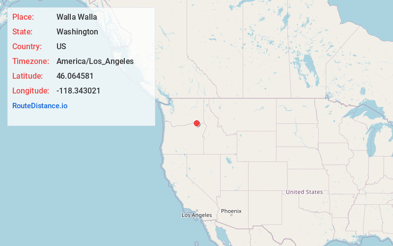
Full AddressWalla Walla, WA 99362
-
Coordinates46.0645809, -118.3430208
-
LocationWalla Walla , Washington , US
-
TimezoneAmerica/Los_Angeles
-
Current Local Time10:26:37 PM America/Los_AngelesWednesday, June 18, 2025
-
Website
-
Page Views0
About Walla Walla
Walla Walla is a city in and the county seat of Walla Walla County, Washington, United States. It had a population of 34,060 at the 2020 census, estimated to have decreased to 33,339 as of 2023.


Nearby Places


Location Links
Local Weather
Weather Information
Coming soon!
Location Map
Static map view of Walla Walla, Washington
Browse Places by Distance
Places within specific distances from Walla Walla
Short Distances
Long Distances
Click any distance to see all places within that range from Walla Walla. Distances shown in miles (1 mile ≈ 1.61 kilometers).