Distance to Wallingford, Iowa

Calculating Your Route
Just a moment while we process your request...
Location Information
-
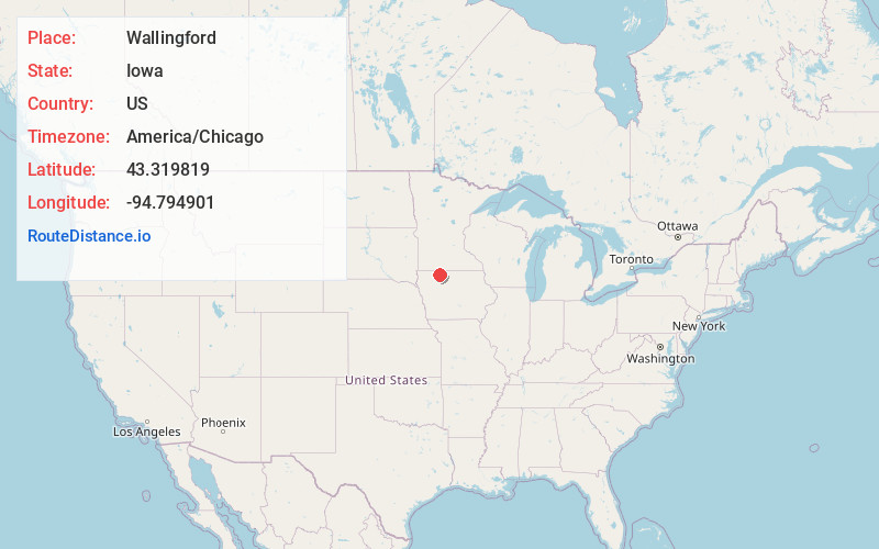
Full AddressWallingford, IA
-
Coordinates43.3198193, -94.794901
-
LocationWallingford , Iowa , US
-
TimezoneAmerica/Chicago
-
Current Local Time7:03:16 PM America/ChicagoWednesday, May 21, 2025
-
Page Views0
About Wallingford
Wallingford is a city in Emmet County, Iowa, United States. The population was 165 at the 2020 census.
Nearby Places
Found 10 places within 50 miles

Estherville
6.1 mi
9.8 km
Estherville, IA 51334
Get directions

Graettinger
6.1 mi
9.8 km
Graettinger, IA 51342
Get directions
Terril
8.9 mi
14.3 km
Terril, IA 51364
Get directions

Ruthven
14.2 mi
22.9 km
Ruthven, IA 51358
Get directions
Ringsted
14.3 mi
23.0 km
Ringsted, IA 50578
Get directions

Emmetsburg
15.4 mi
24.8 km
Emmetsburg, IA 50536
Get directions
Dunnell
16.6 mi
26.7 km
Dunnell, MN 56127
Get directions
Armstrong
16.8 mi
27.0 km
Armstrong, IA 50514
Get directions

Ceylon
16.9 mi
27.2 km
Ceylon, MN 56121
Get directions

Spirit Lake
17.0 mi
27.4 km
Spirit Lake, IA 51360
Get directions
Location Links
Local Weather
Weather Information
Coming soon!
Location Map
Static map view of Wallingford, Iowa
Browse Places by Distance
Places within specific distances from Wallingford
Short Distances
Long Distances
Click any distance to see all places within that range from Wallingford. Distances shown in miles (1 mile ≈ 1.61 kilometers).