Distance to Walls, Mississippi

Calculating Your Route
Just a moment while we process your request...
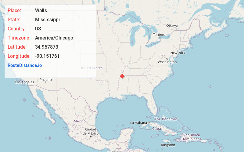
Location Information
-
Full AddressWalls, MS
-
Coordinates34.9578727, -90.1517605
-
LocationWalls , Mississippi , US
-
TimezoneAmerica/Chicago
-
Current Local Time4:23:36 AM America/ChicagoWednesday, June 18, 2025
-
Page Views0
About Walls
Walls is a town located in northern DeSoto County, Mississippi, United States, near the Mississippi River, part of the larger region known as "The Delta", and known for its rich, dark soil. As it is in the upper northwest corner of Mississippi, it is in the Memphis, Tennessee metropolitan area. Its ZIP code is 38680.


Nearby Places
Found 10 places within 50 miles

Lynchburg
2.4 mi
3.9 km
Lynchburg, MS 38680
Get directions

Horn Lake
6.6 mi
10.6 km
Horn Lake, MS
Get directions

Southaven
8.8 mi
14.2 km
Southaven, MS
Get directions

Hernando
12.9 mi
20.8 km
Hernando, MS
Get directions

West Memphis
13.2 mi
21.2 km
West Memphis, AR
Get directions

Tunica Resorts
13.5 mi
21.7 km
Tunica Resorts, MS 38664
Get directions

Memphis
14.3 mi
23.0 km
Memphis, TN
Get directions
Bridgetown
14.4 mi
23.2 km
Bridgetown, MS
Get directions

Marion
17.9 mi
28.8 km
Marion, AR
Get directions

Olive Branch
18.2 mi
29.3 km
Olive Branch, MS 38654
Get directions
Location Links
Local Weather
Weather Information
Coming soon!
Location Map
Static map view of Walls, Mississippi
Browse Places by Distance
Places within specific distances from Walls
Short Distances
Long Distances
Click any distance to see all places within that range from Walls. Distances shown in miles (1 mile ≈ 1.61 kilometers).