Distance to and from Walnford, New Jersey
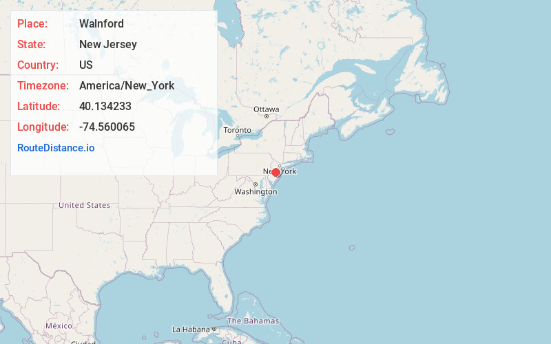
Walnford, Upper Freehold, NJ 08501
Upper Freehold
New Jersey
US
America/New_York
Location Information
-
Full AddressWalnford, Upper Freehold, NJ 08501
-
Coordinates40.1342334, -74.5600647
-
LocationUpper Freehold , New Jersey , US
-
TimezoneAmerica/New_York
-
Current Local Time12:33:55 PM America/New_YorkSaturday, May 3, 2025
-
Page Views0
Directions to Nearest Cities
About Walnford
Walnford is an unincorporated community located along Crosswicks Creek within Upper Freehold Township in Monmouth County, in the U.S. state of New Jersey. Walnford was named for Richard Waln, the original owner of the town site.
Historic Walnford is an open-air museum operated by the Monmouth County Park System.
Nearby Places
Found 10 places within 50 miles

Ellisdale
1.3 mi
2.1 km
Ellisdale, Upper Freehold, NJ 08501
Get directions
Polhemustown
1.3 mi
2.1 km
Polhemustown, Upper Freehold, NJ 08501
Get directions

Upper Freehold
1.6 mi
2.6 km
Upper Freehold, NJ
Get directions

Allentown
3.3 mi
5.3 km
Allentown, NJ 08501
Get directions
Spring Mill
3.6 mi
5.8 km
Spring Mill, Upper Freehold, NJ 08501
Get directions
North Hanover
4.4 mi
7.1 km
North Hanover, NJ
Get directions

Chesterfield Township
4.4 mi
7.1 km
Chesterfield Township, NJ
Get directions

Plumsted
4.8 mi
7.7 km
Plumsted, NJ
Get directions
Sykesville
5.8 mi
9.3 km
Sykesville, Chesterfield Township, NJ 08515
Get directions

Robbinsville Twp
6.5 mi
10.5 km
Robbinsville Twp, NJ
Get directions
Ellisdale
1.3 mi
2.1 km
Ellisdale, Upper Freehold, NJ 08501
Polhemustown
1.3 mi
2.1 km
Polhemustown, Upper Freehold, NJ 08501
Upper Freehold
1.6 mi
2.6 km
Upper Freehold, NJ
Allentown
3.3 mi
5.3 km
Allentown, NJ 08501
Spring Mill
3.6 mi
5.8 km
Spring Mill, Upper Freehold, NJ 08501
North Hanover
4.4 mi
7.1 km
North Hanover, NJ
Chesterfield Township
4.4 mi
7.1 km
Chesterfield Township, NJ
Plumsted
4.8 mi
7.7 km
Plumsted, NJ
Sykesville
5.8 mi
9.3 km
Sykesville, Chesterfield Township, NJ 08515
Robbinsville Twp
6.5 mi
10.5 km
Robbinsville Twp, NJ
Location Links
Local Weather
Weather Information
Coming soon!
Location Map
Static map view of Walnford, New Jersey
Browse Places by Distance
Places within specific distances from Walnford
Short Distances
Long Distances
Click any distance to see all places within that range from Walnford. Distances shown in miles (1 mile ≈ 1.61 kilometers).