Distance to Walnut Bottom, Pennsylvania

Calculating Your Route
Just a moment while we process your request...
Location Information
-
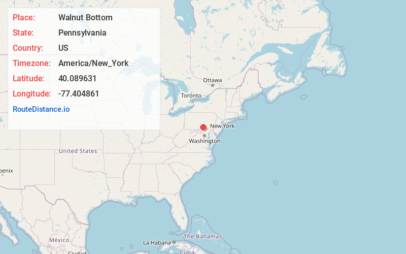
Full AddressWalnut Bottom, PA 17266
-
Coordinates40.0896305, -77.4048607
-
LocationWalnut Bottom , Pennsylvania , US
-
TimezoneAmerica/New_York
-
Current Local Time4:57:02 PM America/New_YorkFriday, June 20, 2025
-
Page Views0
About Walnut Bottom
Walnut Bottom is an unincorporated community in Cumberland County, Pennsylvania, United States. The community is located along Pennsylvania Route 174, 6.7 miles east-northeast of Shippensburg. Walnut Bottom has a post office, with ZIP code 17266, which opened on January 14, 1850.
Nearby Places
Found 10 places within 50 miles

South Newton Township
1.3 mi
2.1 km
South Newton Township, PA
Get directions
Hays Grove
1.8 mi
2.9 km
Hays Grove, PA 17241
Get directions
Lees Cross Roads
2.4 mi
3.9 km
Lees Cross Roads, Southampton Township, PA 17257
Get directions
Longsdorf
3.5 mi
5.6 km
Longsdorf, Penn Township, PA 17241
Get directions
Oakville
3.7 mi
6.0 km
Oakville, North Newton Township, PA 17257
Get directions
Chestnut Crossroads
3.7 mi
6.0 km
Chestnut Crossroads, Southampton Township, PA 17257
Get directions
Cobblesville
3.9 mi
6.3 km
Cobblesville, Penn Township, PA 17241
Get directions

North Newton Township
3.9 mi
6.3 km
North Newton Township, PA
Get directions
Cleversburg
4.8 mi
7.7 km
Cleversburg, PA 17257
Get directions

Huntsdale
5.2 mi
8.4 km
Huntsdale, Penn Township, PA 17015
Get directions
Location Links
Local Weather
Weather Information
Coming soon!
Location Map
Static map view of Walnut Bottom, Pennsylvania
Browse Places by Distance
Places within specific distances from Walnut Bottom
Short Distances
Long Distances
Click any distance to see all places within that range from Walnut Bottom. Distances shown in miles (1 mile ≈ 1.61 kilometers).