Distance to Walthall, Mississippi

Calculating Your Route
Just a moment while we process your request...
Location Information
-
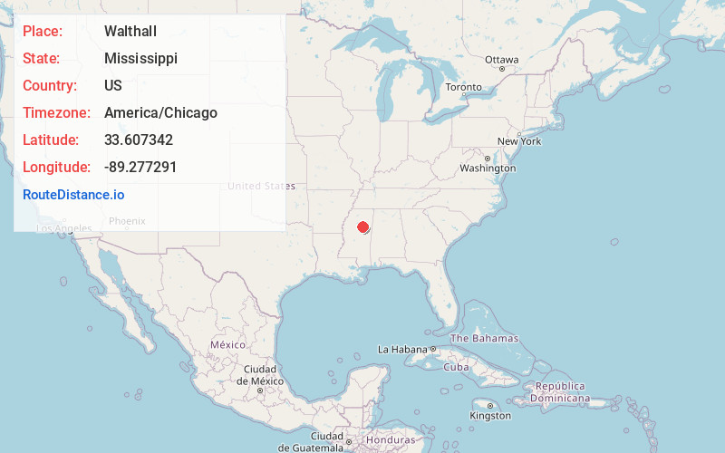
Full AddressWalthall, MS
-
Coordinates33.6073419, -89.277291
-
LocationWalthall , Mississippi , US
-
TimezoneAmerica/Chicago
-
Current Local Time11:56:45 AM America/ChicagoThursday, June 19, 2025
-
Page Views0
About Walthall
Walthall is a village in Webster County, Mississippi. The population was 144 at the 2010 census. It is the county seat of Webster County, designated in 1876.


Nearby Places
Found 10 places within 50 miles

Eupora
4.6 mi
7.4 km
Eupora, MS 39744
Get directions

Mathiston
10.0 mi
16.1 km
Mathiston, MS 39752
Get directions
Maben
11.6 mi
18.7 km
Maben, MS 39750
Get directions
Mantee
15.4 mi
24.8 km
Mantee, MS
Get directions
Derma
17.2 mi
27.7 km
Derma, MS
Get directions
Calhoun City
17.3 mi
27.8 km
Calhoun City, MS 38916
Get directions
Woodland
17.6 mi
28.3 km
Woodland, MS 39776
Get directions
Big Creek
18.6 mi
29.9 km
Big Creek, MS 38914
Get directions

Vardaman
19.4 mi
31.2 km
Vardaman, MS 38878
Get directions
Kilmichael
20.4 mi
32.8 km
Kilmichael, MS 39747
Get directions
Location Links
Local Weather
Weather Information
Coming soon!
Location Map
Static map view of Walthall, Mississippi
Browse Places by Distance
Places within specific distances from Walthall
Short Distances
Long Distances
Click any distance to see all places within that range from Walthall. Distances shown in miles (1 mile ≈ 1.61 kilometers).