Distance to Wapella, Illinois

Calculating Your Route
Just a moment while we process your request...
Location Information
-
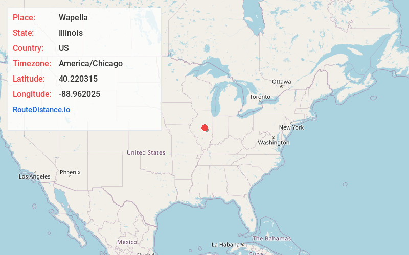
Full AddressWapella, IL
-
Coordinates40.2203145, -88.9620246
-
LocationWapella , Illinois , US
-
TimezoneAmerica/Chicago
-
Current Local Time1:35:57 AM America/ChicagoSunday, June 15, 2025
-
Page Views0
About Wapella
Wapella is a village in DeWitt County, Illinois, United States. The population was 513 at the 2020 census.
Nearby Places
Found 10 places within 50 miles

Clinton
4.6 mi
7.4 km
Clinton, IL 61727
Get directions

Heyworth
6.5 mi
10.5 km
Heyworth, IL 61745
Get directions

Maroa
12.7 mi
20.4 km
Maroa, IL 61756
Get directions

McLean
12.7 mi
20.4 km
McLean, IL 61754
Get directions

Downs
13.1 mi
21.1 km
Downs, IL
Get directions

Le Roy
13.8 mi
22.2 km
Le Roy, IL 61752
Get directions

Atlanta
14.6 mi
23.5 km
Atlanta, IL 61723
Get directions

Farmer City
16.9 mi
27.2 km
Farmer City, IL 61842
Get directions

Bloomington
17.8 mi
28.6 km
Bloomington, IL
Get directions

Argenta
18.0 mi
29.0 km
Argenta, IL 62501
Get directions
Location Links
Local Weather
Weather Information
Coming soon!
Location Map
Static map view of Wapella, Illinois
Browse Places by Distance
Places within specific distances from Wapella
Short Distances
Long Distances
Click any distance to see all places within that range from Wapella. Distances shown in miles (1 mile ≈ 1.61 kilometers).