Distance to Ward, West Virginia

Calculating Your Route
Just a moment while we process your request...
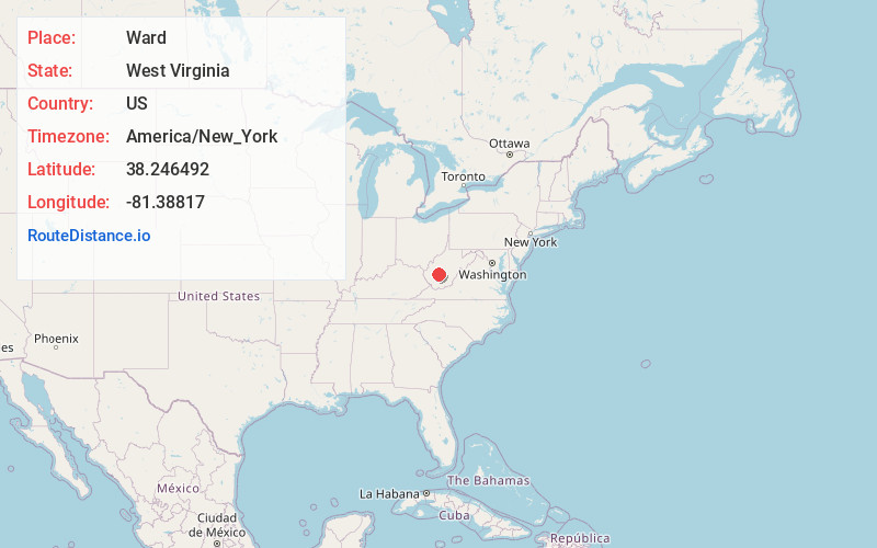
Location Information
-
Full AddressWard, WV 25039
-
Coordinates38.2464924, -81.3881704
-
LocationWest Virginia , US
-
TimezoneAmerica/New_York
-
Current Local Time6:46:06 AM America/New_YorkThursday, June 19, 2025
-
Page Views0
About Ward
Ward is an unincorporated community and coal town in Kanawha County, West Virginia, United States. Its post office is closed. Ward is approximately 3 miles northeast of Cedar Grove, along Kellys Creek.
Some people say the community was named after Ward Hudnall.
Nearby Places
Found 10 places within 50 miles

Mammoth
1.4 mi
2.3 km
Mammoth, WV 25039
Get directions

Pratt
2.5 mi
4.0 km
Pratt, WV
Get directions
Hansford
2.8 mi
4.5 km
Hansford, WV
Get directions

Cedar Grove
2.8 mi
4.5 km
Cedar Grove, WV
Get directions

Glasgow
2.9 mi
4.7 km
Glasgow, WV
Get directions
Crown Hill
3.5 mi
5.6 km
Crown Hill, WV 25103
Get directions
East Bank
3.6 mi
5.8 km
East Bank, WV 25067
Get directions
Hollygrove
3.9 mi
6.3 km
Hollygrove, WV 25103
Get directions

Handley
4.3 mi
6.9 km
Handley, WV
Get directions
Monarch
4.3 mi
6.9 km
Monarch, Shrewsbury, WV 25015
Get directions
Location Links
Local Weather
Weather Information
Coming soon!
Location Map
Static map view of Ward, West Virginia
Browse Places by Distance
Places within specific distances from Ward
Short Distances
Long Distances
Click any distance to see all places within that range from Ward. Distances shown in miles (1 mile ≈ 1.61 kilometers).