Distance to Warfordsburg, Pennsylvania

Calculating Your Route
Just a moment while we process your request...
Location Information
-
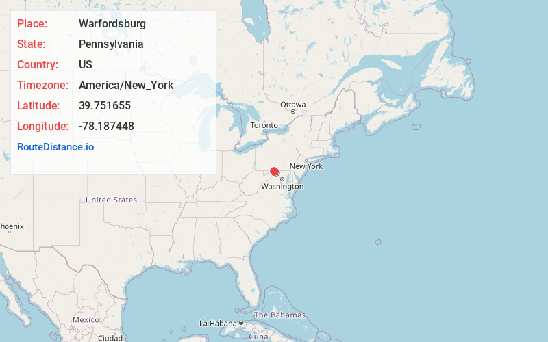
Full AddressWarfordsburg, PA 17267
-
Coordinates39.7516545, -78.1874484
-
LocationWarfordsburg , Pennsylvania , US
-
TimezoneAmerica/New_York
-
Current Local Time2:25:27 PM America/New_YorkFriday, June 6, 2025
-
Page Views0
About Warfordsburg
Warfordsburg is an unincorporated community and census-designated place in Bethel Township, Fulton County, Pennsylvania, United States. It lies just north of the Mason-Dixon line, near Interstate 70, and readily accessible to U.S. Route 40, the historic National Road, just across the Maryland state line.

Nearby Places
Found 10 places within 50 miles

Johnsons Mill
2.1 mi
3.4 km
Johnsons Mill, Thompson Township, PA 17238
Get directions

Hancock
3.6 mi
5.8 km
Hancock, MD 21750
Get directions
Dott
4.3 mi
6.9 km
Dott, PA 17267
Get directions
Buck Valley
5.2 mi
8.4 km
Buck Valley, PA 17267
Get directions
Amaranth
5.8 mi
9.3 km
Amaranth, PA 17267
Get directions
Dickeys Mountain
6.2 mi
10.0 km
Dickeys Mountain, Thompson Township, PA 17212
Get directions

Needmore
6.9 mi
11.1 km
Needmore, PA 17238
Get directions
Exline
7.5 mi
12.1 km
Exline, MD 21750
Get directions
Cohill
8.1 mi
13.0 km
Cohill, MD 21750
Get directions
Shady Grove
8.1 mi
13.0 km
Shady Grove, WV 25411
Get directions
Location Links
Local Weather
Weather Information
Coming soon!
Location Map
Static map view of Warfordsburg, Pennsylvania
Browse Places by Distance
Places within specific distances from Warfordsburg
Short Distances
Long Distances
Click any distance to see all places within that range from Warfordsburg. Distances shown in miles (1 mile ≈ 1.61 kilometers).