Distance to Warnerville, New York

Calculating Your Route
Just a moment while we process your request...
Location Information
-
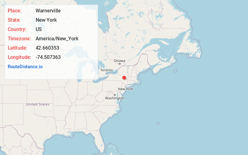
Full AddressWarnerville, NY 12043
-
Coordinates42.6603531, -74.507363
-
LocationWarnerville , New York , US
-
TimezoneAmerica/New_York
-
Current Local Time4:25:17 AM America/New_YorkThursday, May 22, 2025
-
Page Views0
About Warnerville
Warnerville is a hamlet in Schoharie County, New York, United States. Located along State Route 7 between Cobleskill and Richmondville, it is the municipality containing the majority of the sites of the Battle of Cobleskill.
Nearby Places
Found 10 places within 50 miles

Cobleskill
1.6 mi
2.6 km
Cobleskill, NY
Get directions

Richmondville
3.4 mi
5.5 km
Richmondville, NY 12149
Get directions

East Worcester
8.7 mi
14.0 km
East Worcester, NY
Get directions

Middleburgh
9.8 mi
15.8 km
Middleburgh, NY
Get directions

Schoharie
10.1 mi
16.3 km
Schoharie, NY 12157
Get directions

Sharon Springs
10.7 mi
17.2 km
Sharon Springs, NY 13459
Get directions

Decatur
11.1 mi
17.9 km
Decatur, NY 12197
Get directions

Blenheim
12.6 mi
20.3 km
Blenheim, NY
Get directions

Worcester
13.3 mi
21.4 km
Worcester, NY 12197
Get directions

North Blenheim
13.5 mi
21.7 km
North Blenheim, NY
Get directions
Location Links
Local Weather
Weather Information
Coming soon!
Location Map
Static map view of Warnerville, New York
Browse Places by Distance
Places within specific distances from Warnerville
Short Distances
Long Distances
Click any distance to see all places within that range from Warnerville. Distances shown in miles (1 mile ≈ 1.61 kilometers).