Distance to Warrior Run, Pennsylvania

Calculating Your Route
Just a moment while we process your request...
Location Information
-
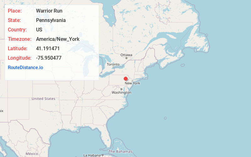
Full AddressWarrior Run, PA 18706
-
Coordinates41.1914711, -75.9504768
-
LocationWarrior Run , Pennsylvania , US
-
TimezoneAmerica/New_York
-
Current Local Time1:07:32 AM America/New_YorkFriday, June 20, 2025
-
Page Views0
About Warrior Run
Warrior Run is a borough in Luzerne County, Pennsylvania, United States. The population was 528 at the time of the 2020 census.


Nearby Places
Found 10 places within 50 miles

Sugar Notch
1.2 mi
1.9 km
Sugar Notch, PA 18706
Get directions

Nuangola
2.9 mi
4.7 km
Nuangola, PA
Get directions

Nanticoke
3.0 mi
4.8 km
Nanticoke, PA 18634
Get directions
Rice Township
3.0 mi
4.8 km
Rice Township, PA 18707
Get directions

Ashley
3.1 mi
5.0 km
Ashley, PA 18706
Get directions
Sheatown
3.3 mi
5.3 km
Sheatown, PA 18634
Get directions

Plymouth
3.4 mi
5.5 km
Plymouth, PA
Get directions

West Nanticoke
4.0 mi
6.4 km
West Nanticoke, PA 18634
Get directions

Mountain Top
4.1 mi
6.6 km
Mountain Top, PA 18707
Get directions

Larksville
5.1 mi
8.2 km
Larksville, PA
Get directions
Location Links
Local Weather
Weather Information
Coming soon!
Location Map
Static map view of Warrior Run, Pennsylvania
Browse Places by Distance
Places within specific distances from Warrior Run
Short Distances
Long Distances
Click any distance to see all places within that range from Warrior Run. Distances shown in miles (1 mile ≈ 1.61 kilometers).