Distance to Washburn, Missouri

Calculating Your Route
Just a moment while we process your request...
Location Information
-
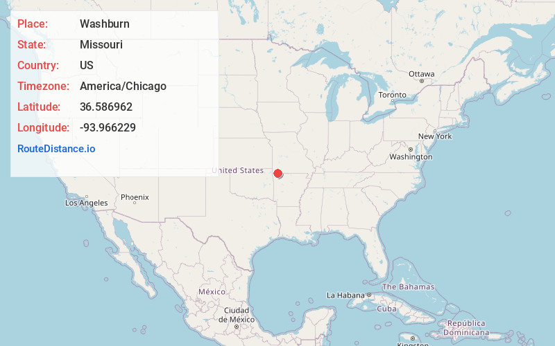
Full AddressWashburn, MO
-
Coordinates36.5869622, -93.9662289
-
LocationWashburn , Missouri , US
-
TimezoneAmerica/Chicago
-
Current Local Time7:10:53 AM America/ChicagoWednesday, June 18, 2025
-
Page Views0
About Washburn
Washburn is a city in Washburn Township, Barry County, Missouri, United States. The current town encompasses the sites of two communities formerly known as Keetsville and O'Day and is named for local pioneer Samuel C. Washburn. The population was 435 at the 2010 census.
Nearby Places
Found 10 places within 50 miles

Seligman
4.4 mi
7.1 km
Seligman, MO 65745
Get directions

Exeter
6.1 mi
9.8 km
Exeter, MO 65647
Get directions

Cassville
8.4 mi
13.5 km
Cassville, MO 65625
Get directions

Pea Ridge
12.4 mi
20.0 km
Pea Ridge, AR
Get directions

Avoca
14.1 mi
22.7 km
Avoca, AR 72756
Get directions

Holiday Island
14.8 mi
23.8 km
Holiday Island, AR 72631
Get directions

Purdy
16.1 mi
25.9 km
Purdy, MO 65734
Get directions

Little Flock
17.4 mi
28.0 km
Little Flock, AR
Get directions

Bella Vista
17.4 mi
28.0 km
Bella Vista, AR
Get directions

Prairie Creek
17.7 mi
28.5 km
Prairie Creek, AR 72756
Get directions
Location Links
Local Weather
Weather Information
Coming soon!
Location Map
Static map view of Washburn, Missouri
Browse Places by Distance
Places within specific distances from Washburn
Short Distances
Long Distances
Click any distance to see all places within that range from Washburn. Distances shown in miles (1 mile ≈ 1.61 kilometers).