Distance to Washburn, Maine

Calculating Your Route
Just a moment while we process your request...
Location Information
-
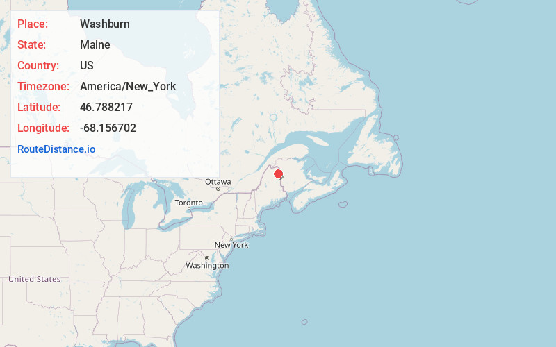
Full AddressWashburn, ME
-
Coordinates46.7882172, -68.1567015
-
LocationWashburn , Maine , US
-
TimezoneAmerica/New_York
-
Current Local Time12:38:59 PM America/New_YorkThursday, July 3, 2025
-
Page Views0
About Washburn
Washburn is a town in Aroostook County, Maine, United States. It was incorporated on February 25, 1861, and named after Israel Washburn, the governor of Maine at the time. The population was 1,527 at the 2020 census.


Nearby Places
Found 10 places within 50 miles

Mapleton
7.4 mi
11.9 km
Mapleton, ME
Get directions

Caribou
9.1 mi
14.6 km
Caribou, ME 04736
Get directions

Presque Isle
10.0 mi
16.1 km
Presque Isle, ME
Get directions

Fort Fairfield
15.2 mi
24.5 km
Fort Fairfield, ME
Get directions

Limestone
17.7 mi
28.5 km
Limestone, ME
Get directions

Mars Hill
23.4 mi
37.7 km
Mars Hill, ME
Get directions

Van Buren
27.6 mi
44.4 km
Van Buren, ME
Get directions

Fort Kent
38.4 mi
61.8 km
Fort Kent, ME 04743
Get directions

Madawaska
39.9 mi
64.2 km
Madawaska, ME
Get directions

Houlton
48.2 mi
77.6 km
Houlton, ME 04730
Get directions
Location Links
Local Weather
Weather Information
Coming soon!
Location Map
Static map view of Washburn, Maine
Browse Places by Distance
Places within specific distances from Washburn
Short Distances
Long Distances
Click any distance to see all places within that range from Washburn. Distances shown in miles (1 mile ≈ 1.61 kilometers).