Distance to Washtucna, Washington

Calculating Your Route
Just a moment while we process your request...
Location Information
-
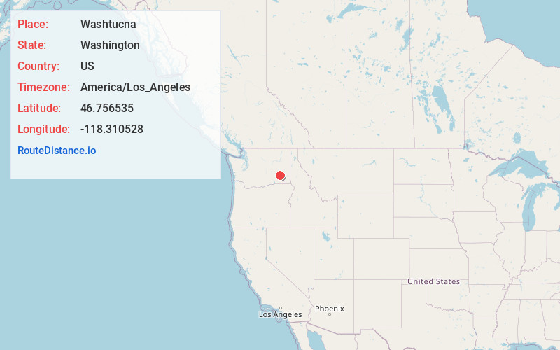
Full AddressWashtucna, WA 99371
-
Coordinates46.7565354, -118.3105282
-
LocationWashtucna , Washington , US
-
TimezoneAmerica/Los_Angeles
-
Current Local Time6:51:10 PM America/Los_AngelesFriday, May 30, 2025
-
Website
-
Page Views0
About Washtucna
Washtucna is a town in Adams County, Washington, United States. The population was 211 at the 2020 census, a 1% increase over the previous census. The town was named for a lake 12 miles from the town in Franklin County which was in turn named after a Palouse Native American chief.


Nearby Places
Found 10 places within 50 miles

LaCrosse
20.7 mi
33.3 km
LaCrosse, WA 99143
Get directions

Lind
20.7 mi
33.3 km
Lind, WA 99341
Get directions

Hatton
24.5 mi
39.4 km
Hatton, WA 99344
Get directions

Ritzville
25.8 mi
41.5 km
Ritzville, WA 99169
Get directions

Connell
26.9 mi
43.3 km
Connell, WA 99326
Get directions

Prescott
31.6 mi
50.9 km
Prescott, WA 99348
Get directions

Endicott
31.9 mi
51.3 km
Endicott, WA 99125
Get directions

Dayton
33.9 mi
54.6 km
Dayton, WA 99328
Get directions

Waitsburg
34.4 mi
55.4 km
Waitsburg, WA 99361
Get directions

Mesa
35.3 mi
56.8 km
Mesa, WA 99343
Get directions
Location Links
Local Weather
Weather Information
Coming soon!
Location Map
Static map view of Washtucna, Washington
Browse Places by Distance
Places within specific distances from Washtucna
Short Distances
Long Distances
Click any distance to see all places within that range from Washtucna. Distances shown in miles (1 mile ≈ 1.61 kilometers).