Distance to Wastella, Texas

Calculating Your Route
Just a moment while we process your request...
Location Information
-
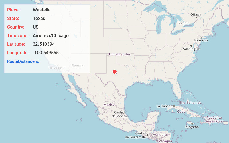
Full AddressWastella, TX 79545
-
Coordinates32.5103936, -100.6495548
-
LocationTexas , US
-
TimezoneAmerica/Chicago
-
Current Local Time2:54:29 AM America/ChicagoFriday, June 20, 2025
-
Page Views0
About Wastella
Wastella is a ghost town in northwestern Nolan County, Texas, United States. It is located at the intersection of U.S. Highway 84 and Farm to Market Road 1982, approximately 8 mi northwest of Roscoe.
Nearby Places
Found 10 places within 50 miles

Loraine
7.8 mi
12.6 km
Loraine, TX 79532
Get directions

Roscoe
7.9 mi
12.7 km
Roscoe, TX 79545
Get directions

Hermleigh
10.7 mi
17.2 km
Hermleigh, TX 79526
Get directions

Sweetwater
14.5 mi
23.3 km
Sweetwater, TX 79556
Get directions

Colorado City
15.1 mi
24.3 km
Colorado City, TX 79512
Get directions

Snyder
21.2 mi
34.1 km
Snyder, TX 79549
Get directions

Roby
22.6 mi
36.4 km
Roby, TX 79543
Get directions

Westbrook
23.8 mi
38.3 km
Westbrook, TX
Get directions
Rotan
25.9 mi
41.7 km
Rotan, TX 79546
Get directions

Sylvester
27.2 mi
43.8 km
Sylvester, TX 79560
Get directions
Location Links
Local Weather
Weather Information
Coming soon!
Location Map
Static map view of Wastella, Texas
Browse Places by Distance
Places within specific distances from Wastella
Short Distances
Long Distances
Click any distance to see all places within that range from Wastella. Distances shown in miles (1 mile ≈ 1.61 kilometers).