Distance to Watauga, Texas

Calculating Your Route
Just a moment while we process your request...
Location Information
-
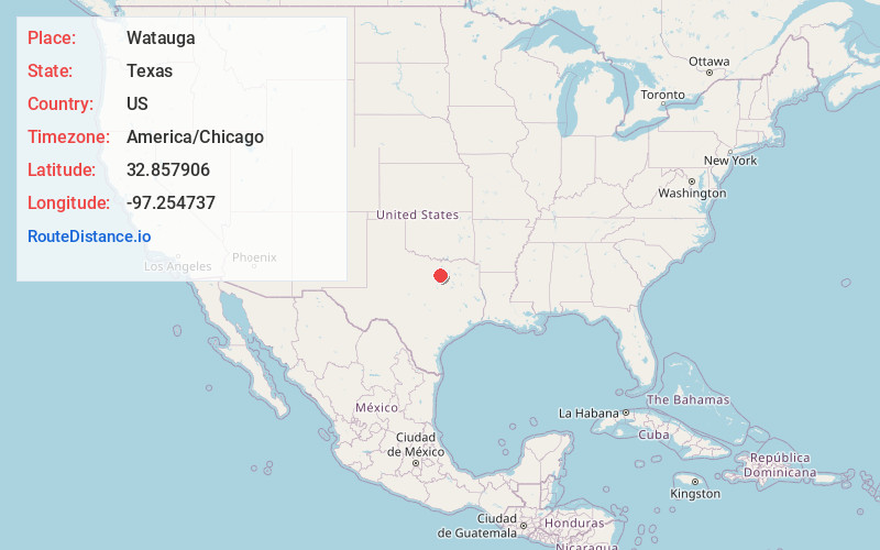
Full AddressWatauga, TX
-
Coordinates32.8579056, -97.2547371
-
LocationWatauga , Texas , US
-
TimezoneAmerica/Chicago
-
Current Local Time12:27:13 AM America/ChicagoMonday, June 16, 2025
-
Website
-
Page Views0
About Watauga
Watauga is a city in Tarrant County, Texas, United States, and a suburb of Fort Worth. The population was 23,650 at the 2020 census. The city's businesses and retail markets are generally located on Highway 377.


Nearby Places
Found 10 places within 50 miles

Haltom City
4.1 mi
6.6 km
Haltom City, TX
Get directions

Hurst
5.4 mi
8.7 km
Hurst, TX
Get directions

Keller
5.5 mi
8.9 km
Keller, TX
Get directions

Colleyville
6.0 mi
9.7 km
Colleyville, TX 76034
Get directions

Bedford
6.6 mi
10.6 km
Bedford, TX
Get directions

Fort Worth
8.3 mi
13.4 km
Fort Worth, TX
Get directions

Southlake
9.1 mi
14.6 km
Southlake, TX 76092
Get directions

Euless
9.5 mi
15.3 km
Euless, TX
Get directions

Grapevine
11.7 mi
18.8 km
Grapevine, TX
Get directions

Arlington
12.0 mi
19.3 km
Arlington, TX
Get directions
Location Links
Local Weather
Weather Information
Coming soon!
Location Map
Static map view of Watauga, Texas
Browse Places by Distance
Places within specific distances from Watauga
Short Distances
Long Distances
Click any distance to see all places within that range from Watauga. Distances shown in miles (1 mile ≈ 1.61 kilometers).