Distance to Waterloo, Louisiana

Calculating Your Route
Just a moment while we process your request...
Location Information
-
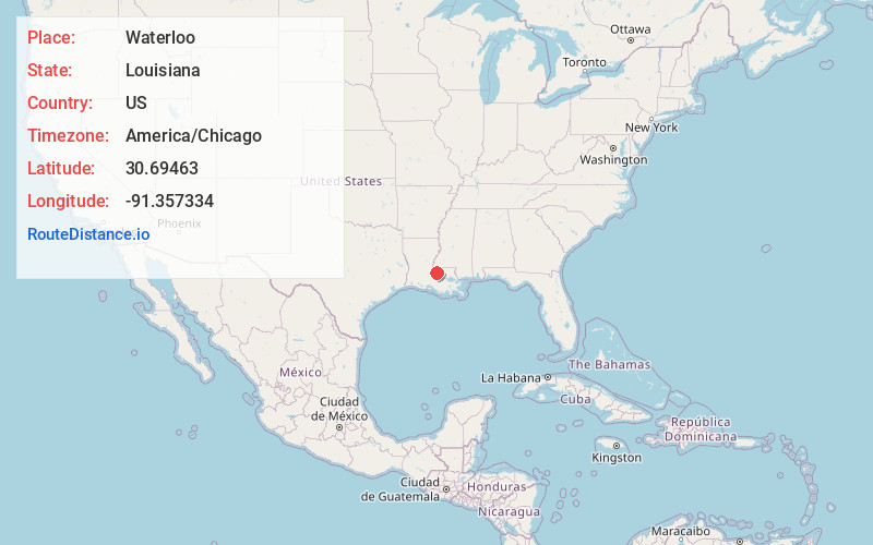
Full AddressWaterloo, LA 70783
-
Coordinates30.6946297, -91.3573337
-
LocationLouisiana , US
-
TimezoneAmerica/Chicago
-
Current Local Time10:31:40 AM America/ChicagoFriday, May 30, 2025
-
Page Views0
About Waterloo
Waterloo is the name of a former town at the upriver juncture of the False River oxbow on the west bank of the Mississippi River in Pointe Coupee Parish, Louisiana, United States. Founded circa 1820, the community grew as a bustling export center for cotton and sugar cane produced in Pointe Coupee Parish.
Nearby Places
Found 10 places within 50 miles

Ventress
3.1 mi
5.0 km
Ventress, LA 70783
Get directions

New Roads
4.7 mi
7.6 km
New Roads, LA 70760
Get directions

Port Hudson
5.3 mi
8.5 km
Port Hudson, LA 70791
Get directions

St Francisville
6.6 mi
10.6 km
St Francisville, LA 70775
Get directions

Ploup
7.5 mi
12.1 km
Ploup, LA 70760
Get directions
Walls
7.7 mi
12.4 km
Walls, LA 70729
Get directions
Knapp
7.7 mi
12.4 km
Knapp, LA 70752
Get directions
Beaud
8.1 mi
13.0 km
Beaud, LA 70760
Get directions
Solitude
10.3 mi
16.6 km
Solitude, LA 70775
Get directions
Erwinville
11.7 mi
18.8 km
Erwinville, LA
Get directions
Location Links
Local Weather
Weather Information
Coming soon!
Location Map
Static map view of Waterloo, Louisiana
Browse Places by Distance
Places within specific distances from Waterloo
Short Distances
Long Distances
Click any distance to see all places within that range from Waterloo. Distances shown in miles (1 mile ≈ 1.61 kilometers).