Distance to Watseka, Illinois

Calculating Your Route
Just a moment while we process your request...
Location Information
-
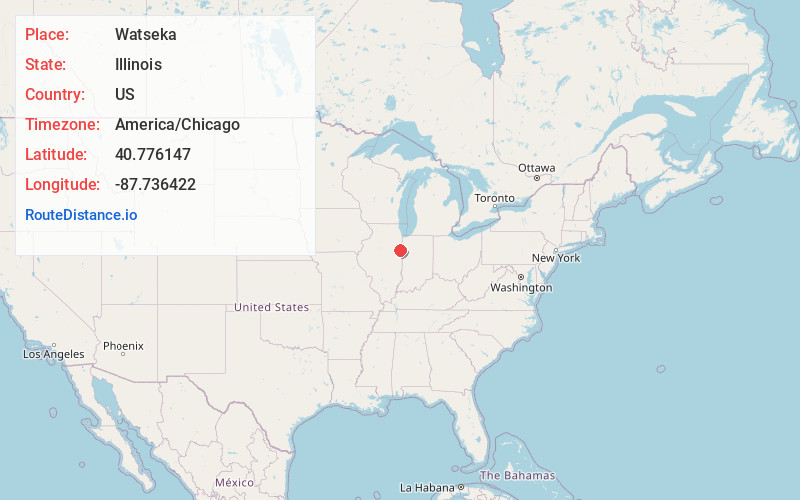
Full AddressWatseka, IL 60970
-
Coordinates40.7761465, -87.7364218
-
LocationWatseka , Illinois , US
-
TimezoneAmerica/Chicago
-
Current Local Time8:06:28 AM America/ChicagoSunday, May 25, 2025
-
Website
-
Page Views0
About Watseka
Watseka is a city in and the county seat of Iroquois County, Illinois, United States. It is located approximately 15 miles west of the Illinois-Indiana state line on U.S. Route 24.
The population of Watseka was 4,679 as of the 2020 Census.


Nearby Places
Found 10 places within 50 miles

Hoopeston
21.6 mi
34.8 km
Hoopeston, IL
Get directions

Kankakee
24.6 mi
39.6 km
Kankakee, IL
Get directions

Bradley
26.1 mi
42.0 km
Bradley, IL
Get directions

Bourbonnais
28.6 mi
46.0 km
Bourbonnais, IL 60914
Get directions

Rensselaer
32.6 mi
52.5 km
Rensselaer, IN 47978
Get directions

Manteno
33.2 mi
53.4 km
Manteno, IL 60950
Get directions

Peotone
38.5 mi
62.0 km
Peotone, IL 60468
Get directions

Rantoul
39.1 mi
62.9 km
Rantoul, IL 61866
Get directions

Lowell
39.3 mi
63.2 km
Lowell, IN 46356
Get directions

Beecher
39.5 mi
63.6 km
Beecher, IL 60401
Get directions
Location Links
Local Weather
Weather Information
Coming soon!
Location Map
Static map view of Watseka, Illinois
Browse Places by Distance
Places within specific distances from Watseka
Short Distances
Long Distances
Click any distance to see all places within that range from Watseka. Distances shown in miles (1 mile ≈ 1.61 kilometers).