Distance to Watson Chapel, Arkansas

Calculating Your Route
Just a moment while we process your request...
Location Information
-
Full AddressWatson Chapel, Pine Bluff, AR 71603
-
Coordinates34.1892649, -92.0656975
-
LocationPine Bluff , Arkansas , US
-
TimezoneAmerica/Chicago
-
Current Local Time9:44:09 AM America/ChicagoMonday, June 23, 2025
-
Page Views0
About Watson Chapel
Watson Chapel is a neighborhood in Pine Bluff, Arkansas. It is located at the fork of U.S. Route 79 and Highway 54, directly southwest of downtown Pine Bluff.
Nearby Places
Found 10 places within 50 miles

Sorrells
2.0 mi
3.2 km
Sorrells, AR 71603
Get directions

Pine Bluff
4.3 mi
6.9 km
Pine Bluff, AR
Get directions
Henslee Heights
5.1 mi
8.2 km
Henslee Heights, White Hall, AR 71602
Get directions

White Hall
5.8 mi
9.3 km
White Hall, AR 71602
Get directions
Faith
6.3 mi
10.1 km
Faith, AR 71603
Get directions
Warbritton
6.3 mi
10.1 km
Warbritton, AR 71602
Get directions
Pinebergen
7.3 mi
11.7 km
Pinebergen, AR 71603
Get directions
Hardin
8.0 mi
12.9 km
Hardin, AR 71602
Get directions
Rone
9.0 mi
14.5 km
Rone, AR 71603
Get directions
Ladd
9.6 mi
15.4 km
Ladd, AR 71601
Get directions
Location Links
Local Weather
Weather Information
Coming soon!
Location Map
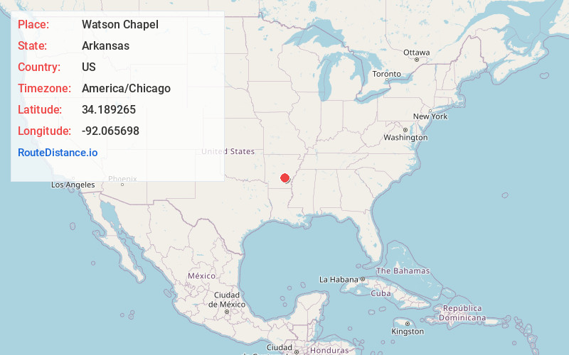
Static map view of Watson Chapel, Arkansas
Browse Places by Distance
Places within specific distances from Watson Chapel
Short Distances
Long Distances
Click any distance to see all places within that range from Watson Chapel. Distances shown in miles (1 mile ≈ 1.61 kilometers).