Distance to Watsontown, Pennsylvania

Calculating Your Route
Just a moment while we process your request...
Location Information
-
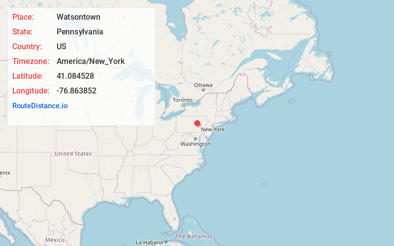
Full AddressWatsontown, PA
-
Coordinates41.0845277, -76.8638522
-
LocationWatsontown , Pennsylvania , US
-
TimezoneAmerica/New_York
-
Current Local Time12:23:33 AM America/New_YorkSunday, June 22, 2025
-
Website
-
Page Views0
About Watsontown
Watsontown is a borough in Northumberland County, Pennsylvania, United States. The population was 2,351 at the 2010 census. It was named for John Watson, an early settler.


Nearby Places
Found 10 places within 50 miles

White Deer Creek
0.3 mi
0.5 km
White Deer Creek, Watsontown, PA 17856
Get directions

Milton
5.1 mi
8.2 km
Milton, PA
Get directions
Lewis Township
5.7 mi
9.2 km
Lewis Township, PA
Get directions

Kelly Township
6.5 mi
10.5 km
Kelly Township, PA
Get directions

Lewisburg
8.4 mi
13.5 km
Lewisburg, PA 17837
Get directions
West Chillisquaque Township
9.1 mi
14.6 km
West Chillisquaque Township, PA
Get directions

Muncy
9.3 mi
15.0 km
Muncy, PA 17756
Get directions
East Buffalo Township
10.1 mi
16.3 km
East Buffalo Township, PA
Get directions

Union County
12.0 mi
19.3 km
Union County, PA
Get directions

Montoursville
12.1 mi
19.5 km
Montoursville, PA
Get directions
Location Links
Local Weather
Weather Information
Coming soon!
Location Map
Static map view of Watsontown, Pennsylvania
Browse Places by Distance
Places within specific distances from Watsontown
Short Distances
Long Distances
Click any distance to see all places within that range from Watsontown. Distances shown in miles (1 mile ≈ 1.61 kilometers).