Distance to Waukau, Wisconsin

Calculating Your Route
Just a moment while we process your request...
Location Information
-
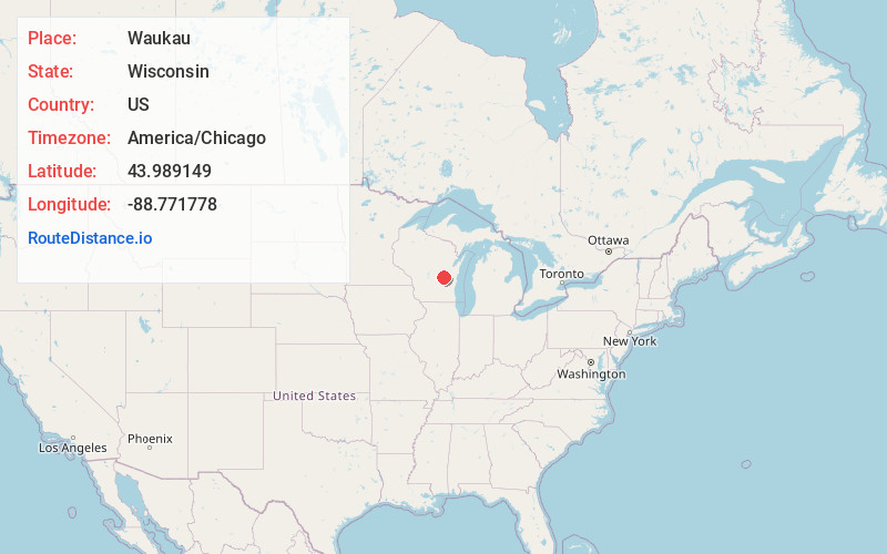
Full AddressWaukau, WI
-
Coordinates43.9891487, -88.7717775
-
LocationWaukau , Wisconsin , US
-
TimezoneAmerica/Chicago
-
Current Local Time12:55:57 AM America/ChicagoSunday, June 8, 2025
-
Page Views0
About Waukau
Waukau is an unincorporated census-designated place in the town of Rushford, in Winnebago County, Wisconsin, United States. The community is located on Wisconsin Highway 116 at its south terminus at Wisconsin Highway 91. As of the 2010 census, its population is 255.
Nearby Places
Found 10 places within 50 miles

Omro
3.7 mi
6.0 km
Omro, WI 54963
Get directions

Berlin
8.7 mi
14.0 km
Berlin, WI 54923
Get directions

Winneconne
8.9 mi
14.3 km
Winneconne, WI
Get directions

Butte Des Morts
9.6 mi
15.4 km
Butte Des Morts, WI
Get directions

Ripon
10.6 mi
17.1 km
Ripon, WI 54971
Get directions

Oshkosh
11.7 mi
18.8 km
Oshkosh, WI
Get directions

Rosendale
13.4 mi
21.6 km
Rosendale, WI 54974
Get directions

Green Lake
13.7 mi
22.0 km
Green Lake, WI 54941
Get directions

Poy Sippi
15.1 mi
24.3 km
Poy Sippi, WI 54967
Get directions

Van Dyne
15.1 mi
24.3 km
Van Dyne, WI 54979
Get directions
Location Links
Local Weather
Weather Information
Coming soon!
Location Map
Static map view of Waukau, Wisconsin
Browse Places by Distance
Places within specific distances from Waukau
Short Distances
Long Distances
Click any distance to see all places within that range from Waukau. Distances shown in miles (1 mile ≈ 1.61 kilometers).