Distance to Waumandee, Wisconsin

Calculating Your Route
Just a moment while we process your request...
Location Information
-
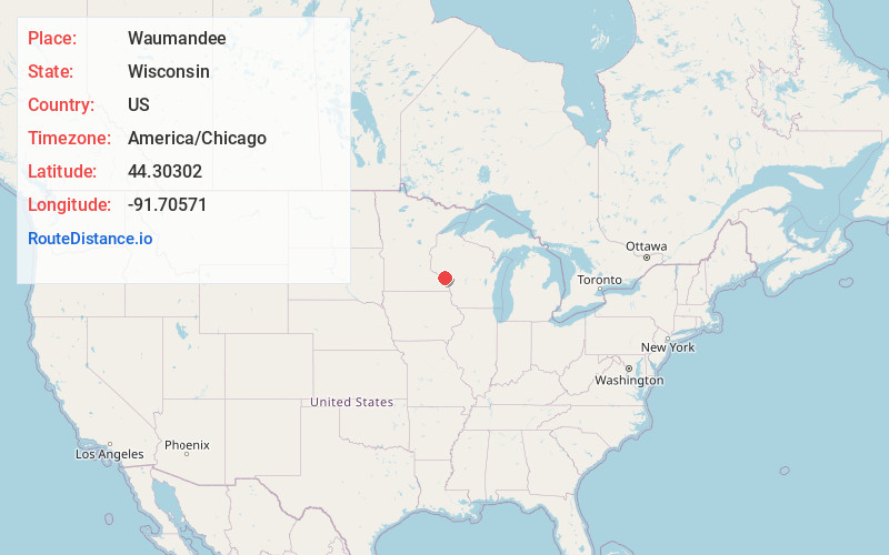
Full AddressWaumandee, WI 54622
-
Coordinates44.3030198, -91.7057103
-
LocationWaumandee , Wisconsin , US
-
TimezoneAmerica/Chicago
-
Current Local Time12:24:47 PM America/ChicagoThursday, May 22, 2025
-
Page Views0
About Waumandee
Waumandee is a town in Buffalo County in the U.S. state of Wisconsin. The population was 472 at the 2010 census. The census-designated place of Waumandee is located in the town. The ghost town that was Anchorage is located in the town.
Nearby Places
Found 10 places within 50 miles

Cochrane
8.3 mi
13.4 km
Cochrane, WI 54622
Get directions

Buffalo City
9.3 mi
15.0 km
Buffalo City, WI 54622
Get directions

Alma
10.6 mi
17.1 km
Alma, WI 54610
Get directions

Arcadia
10.7 mi
17.2 km
Arcadia, WI 54612
Get directions

Minneiska
11.1 mi
17.9 km
Minneiska, MN
Get directions

Gilmanton
11.6 mi
18.7 km
Gilmanton, WI 54755
Get directions

Fountain City
11.9 mi
19.2 km
Fountain City, WI 54629
Get directions
Dodge
14.0 mi
22.5 km
Dodge, WI
Get directions

Kellogg
14.3 mi
23.0 km
Kellogg, MN 55945
Get directions

Independence
14.6 mi
23.5 km
Independence, WI
Get directions
Location Links
Local Weather
Weather Information
Coming soon!
Location Map
Static map view of Waumandee, Wisconsin
Browse Places by Distance
Places within specific distances from Waumandee
Short Distances
Long Distances
Click any distance to see all places within that range from Waumandee. Distances shown in miles (1 mile ≈ 1.61 kilometers).