Distance to Wayne, Kansas

Calculating Your Route
Just a moment while we process your request...
Location Information
-
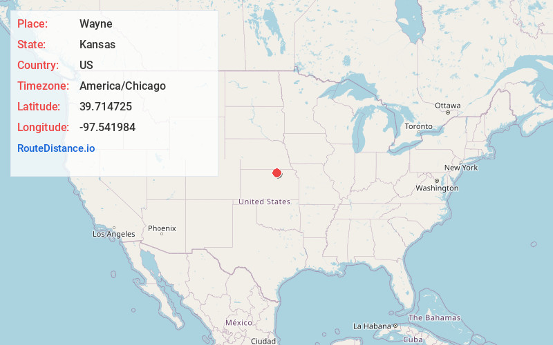
Full AddressWayne, Grant Township, KS 66935
-
Coordinates39.7147249, -97.5419838
-
LocationGrant Township , Kansas , US
-
TimezoneAmerica/Chicago
-
Current Local Time1:09:50 AM America/ChicagoFriday, June 20, 2025
-
Page Views0
About Wayne
Wayne is an unincorporated community in Republic County, Kansas, United States. It is located northeast of Concordia along K-148 highway near Co Rd 22.
Nearby Places
Found 10 places within 50 miles

Agenda
5.9 mi
9.5 km
Agenda, KS 66930
Get directions

Cuba
7.6 mi
12.2 km
Cuba, KS 66940
Get directions

Belleville
9.0 mi
14.5 km
Belleville, KS 66935
Get directions
Brantford
9.7 mi
15.6 km
Brantford, KS 66938
Get directions
Tabor
9.9 mi
15.9 km
Tabor, Fairview Township, KS 66940
Get directions
Rosaco
10.4 mi
16.7 km
Rosaco, Lincoln Township, KS 66901
Get directions
Haworth
11.2 mi
18.0 km
Haworth, Richland Township, KS 66940
Get directions
Rydal
11.3 mi
18.2 km
Rydal, Scandia Township, KS 66966
Get directions
Ames
11.4 mi
18.3 km
Ames, KS
Get directions
Calderhead
11.4 mi
18.3 km
Calderhead, KS 66937
Get directions
Location Links
Local Weather
Weather Information
Coming soon!
Location Map
Static map view of Wayne, Kansas
Browse Places by Distance
Places within specific distances from Wayne
Short Distances
Long Distances
Click any distance to see all places within that range from Wayne. Distances shown in miles (1 mile ≈ 1.61 kilometers).