Distance to Wayne Township, Ohio

Calculating Your Route
Just a moment while we process your request...
Location Information
-
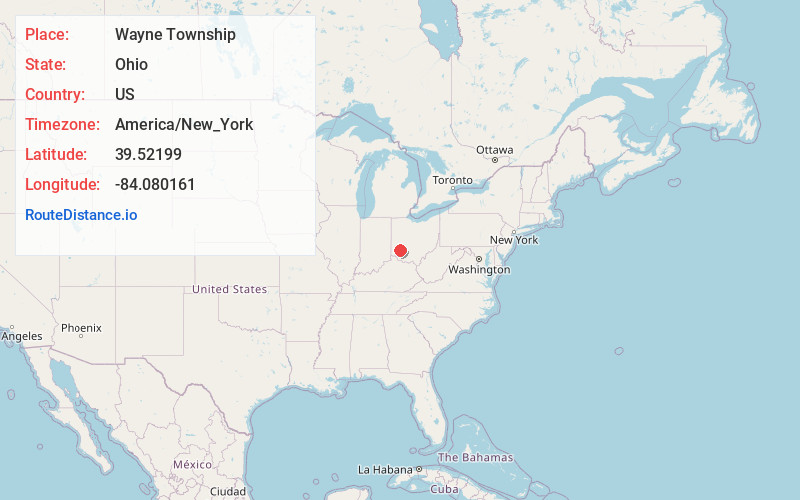
Full AddressWayne Township, OH
-
Coordinates39.5219903, -84.0801613
-
LocationWayne Township , Ohio , US
-
TimezoneAmerica/New_York
-
Current Local Time3:45:08 PM America/New_YorkSaturday, June 28, 2025
-
Page Views0
About Wayne Township
Wayne Township is one of the eleven townships of Warren County, Ohio, United States. It is located in the northeast part of the county and includes the village of Waynesville, Ohio. The population was 8,658 at the 2020 census. Caesar Creek State Park is located in the township.


Nearby Places
Found 10 places within 50 miles

Corwin
0.2 mi
0.3 km
Corwin, OH 45068
Get directions

Waynesville
0.6 mi
1.0 km
Waynesville, OH 45068
Get directions

Crosswick
1.5 mi
2.4 km
Crosswick, Wayne Township, OH 45068
Get directions
Wellman
3.7 mi
6.0 km
Wellman, Massie Township, OH 45068
Get directions
Harveysburg
3.9 mi
6.3 km
Harveysburg, OH 45068
Get directions
Lytle
4.0 mi
6.4 km
Lytle, OH 45068
Get directions
Ferry
4.2 mi
6.8 km
Ferry, Sugarcreek Township, OH 45370
Get directions
Dodds
4.4 mi
7.1 km
Dodds, Clear Creek Township, OH 45036
Get directions
Kenricksville
5.0 mi
8.0 km
Kenricksville, Clear Creek Township, OH 45068
Get directions

Oregonia
5.0 mi
8.0 km
Oregonia, OH 45054
Get directions
Location Links
Local Weather
Weather Information
Coming soon!
Location Map
Static map view of Wayne Township, Ohio
Browse Places by Distance
Places within specific distances from Wayne Township
Short Distances
Long Distances
Click any distance to see all places within that range from Wayne Township. Distances shown in miles (1 mile ≈ 1.61 kilometers).