Distance to Webbville, Kentucky

Calculating Your Route
Just a moment while we process your request...
Location Information
-
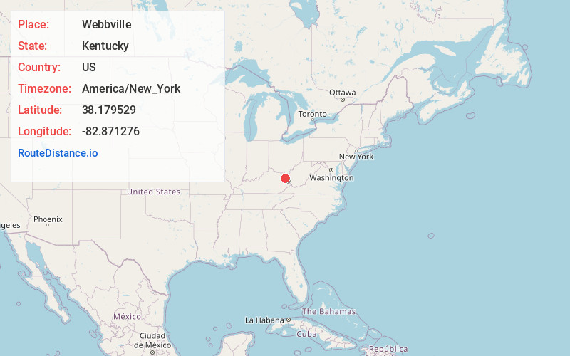
Full AddressWebbville, KY 41180
-
Coordinates38.1795289, -82.871276
-
LocationWebbville , Kentucky , US
-
TimezoneAmerica/New_York
-
Current Local Time9:22:28 AM America/New_YorkSaturday, June 7, 2025
-
Page Views0
About Webbville
Webbville is an unincorporated community in Lawrence County, Kentucky, United States. The community is located at the intersection of Kentucky Route 1 and Kentucky Route 201 11.4 miles south of Grayson. Webbville had a post office from January 11, 1867, until March 23, 2013; it still has its own ZIP code, 41180.
Nearby Places
Found 10 places within 50 miles

Dobbins
3.5 mi
5.6 km
Dobbins, KY 41180
Get directions
Johns Run
4.6 mi
7.4 km
Johns Run, KY 41143
Get directions
Gollihue
4.7 mi
7.6 km
Gollihue, KY 41143
Get directions
Houckville
4.7 mi
7.6 km
Houckville, KY 41180
Get directions
Reedville
5.4 mi
8.7 km
Reedville, KY 41143
Get directions
Glenwood
5.5 mi
8.9 km
Glenwood, KY 41230
Get directions
Mt Savage
6.0 mi
9.7 km
Mt Savage, KY 41146
Get directions
Cherokee
7.3 mi
11.7 km
Cherokee, KY 41180
Get directions
Fairview Hill
7.7 mi
12.4 km
Fairview Hill, KY 41143
Get directions
Sandy Furnace
7.9 mi
12.7 km
Sandy Furnace, KY 41168
Get directions
Location Links
Local Weather
Weather Information
Coming soon!
Location Map
Static map view of Webbville, Kentucky
Browse Places by Distance
Places within specific distances from Webbville
Short Distances
Long Distances
Click any distance to see all places within that range from Webbville. Distances shown in miles (1 mile ≈ 1.61 kilometers).