Distance to Webster, Florida

Calculating Your Route
Just a moment while we process your request...
Location Information
-
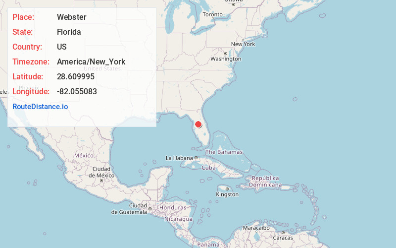
Full AddressWebster, FL
-
Coordinates28.6099949, -82.0550827
-
LocationWebster , Florida , US
-
TimezoneAmerica/New_York
-
Current Local Time4:05:36 AM America/New_YorkWednesday, June 18, 2025
-
Page Views0
About Webster
Webster is a city located in Sumter County, Florida, United States. As of the 2020 census, the city had a total population of 778.
The ZIP Code for this city is 33597, which is shared by Oak Grove, St. Catherine, Croom-a-Coochee, Tarrytown, Linden and part of Mabel.


Nearby Places
Found 10 places within 50 miles

Bushnell
5.2 mi
8.4 km
Bushnell, FL
Get directions

Mascotte
10.3 mi
16.6 km
Mascotte, FL
Get directions

Ridge Manor
10.8 mi
17.4 km
Ridge Manor, FL
Get directions

Lacoochee
12.1 mi
19.5 km
Lacoochee, FL
Get directions

Groveland
12.5 mi
20.1 km
Groveland, FL
Get directions

Lake Panasoffkee
13.2 mi
21.2 km
Lake Panasoffkee, FL 33538
Get directions

Hill 'N Dale
15.6 mi
25.1 km
Hill 'N Dale, FL 34602
Get directions

Yalaha
17.4 mi
28.0 km
Yalaha, FL
Get directions

Leesburg
17.5 mi
28.2 km
Leesburg, FL
Get directions

Floral City
17.6 mi
28.3 km
Floral City, FL 34436
Get directions
Location Links
Local Weather
Weather Information
Coming soon!
Location Map
Static map view of Webster, Florida
Browse Places by Distance
Places within specific distances from Webster
Short Distances
Long Distances
Click any distance to see all places within that range from Webster. Distances shown in miles (1 mile ≈ 1.61 kilometers).