Distance to Webster, Kentucky

Calculating Your Route
Just a moment while we process your request...
Location Information
-
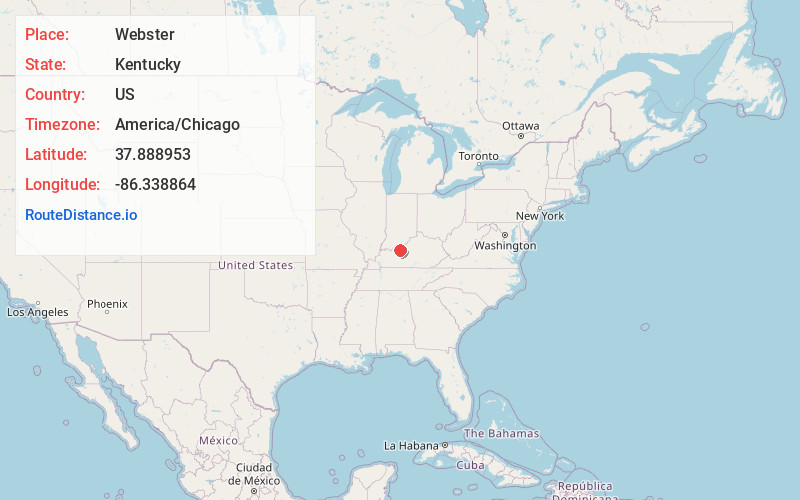
Full AddressWebster, KY 40176
-
Coordinates37.888953, -86.3388635
-
LocationWebster , Kentucky , US
-
TimezoneAmerica/Chicago
-
Current Local Time2:52:43 PM America/ChicagoWednesday, June 18, 2025
-
Page Views0
About Webster
Webster is an unincorporated community in Breckinridge County, Kentucky, United States, located at the junction of Kentucky Route 261, Kentucky Route 333, Kentucky Route 477, and Kentucky Route 2780, 3.1 miles west of Irvington. Webster has a post office with ZIP code 40176, which opened on August 31, 1852.
Nearby Places
Found 10 places within 50 miles

Irvington
3.1 mi
5.0 km
Irvington, KY 40146
Get directions

Lodiburg
3.6 mi
5.8 km
Lodiburg, KY 40176
Get directions
Basin Spring
3.7 mi
6.0 km
Basin Spring, KY 40146
Get directions
Raymond
3.7 mi
6.0 km
Raymond, KY 40176
Get directions
Haysville
5.3 mi
8.5 km
Haysville, KY 40142
Get directions
Mystic
5.7 mi
9.2 km
Mystic, KY 40176
Get directions
Frymire
5.9 mi
9.5 km
Frymire, KY 40176
Get directions
Bewleyville
6.2 mi
10.0 km
Bewleyville, KY 40146
Get directions

Union Star
7.0 mi
11.3 km
Union Star, KY 40170
Get directions
Payneville
7.1 mi
11.4 km
Payneville, KY 40157
Get directions
Location Links
Local Weather
Weather Information
Coming soon!
Location Map
Static map view of Webster, Kentucky
Browse Places by Distance
Places within specific distances from Webster
Short Distances
Long Distances
Click any distance to see all places within that range from Webster. Distances shown in miles (1 mile ≈ 1.61 kilometers).