Distance to Weed Heights, Nevada

Calculating Your Route
Just a moment while we process your request...
Location Information
-
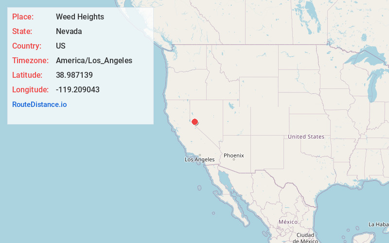
Full AddressWeed Heights, NV 89447
-
Coordinates38.9871392, -119.2090429
-
LocationWeed Heights , Nevada , US
-
TimezoneAmerica/Los_Angeles
-
Current Local Time12:34:05 PM America/Los_AngelesTuesday, June 24, 2025
-
Page Views0
About Weed Heights
Weed Heights is an unincorporated community in Lyon County, Nevada, USA. It is adjacent to Yerington.


Nearby Places
Found 10 places within 50 miles

Yerington
2.5 mi
4.0 km
Yerington, NV 89447
Get directions

Mason
2.8 mi
4.5 km
Mason, NV 89447
Get directions
Nordyke
6.7 mi
10.8 km
Nordyke, NV 89447
Get directions

Wabuska
10.9 mi
17.5 km
Wabuska, NV 89447
Get directions
Lux
11.0 mi
17.7 km
Lux, NV 89447
Get directions

Smith Valley
14.3 mi
23.0 km
Smith Valley, NV
Get directions
Como
19.2 mi
30.9 km
Como, NV 89403
Get directions

Schurz
21.5 mi
34.6 km
Schurz, NV 89427
Get directions
Topaz Ranch Estates
23.7 mi
38.1 km
Topaz Ranch Estates, NV 89444
Get directions

Fish Springs
23.7 mi
38.1 km
Fish Springs, NV 89410
Get directions
Location Links
Local Weather
Weather Information
Coming soon!
Location Map
Static map view of Weed Heights, Nevada
Browse Places by Distance
Places within specific distances from Weed Heights
Short Distances
Long Distances
Click any distance to see all places within that range from Weed Heights. Distances shown in miles (1 mile ≈ 1.61 kilometers).