Distance to Weesatche, Texas

Calculating Your Route
Just a moment while we process your request...
Location Information
-
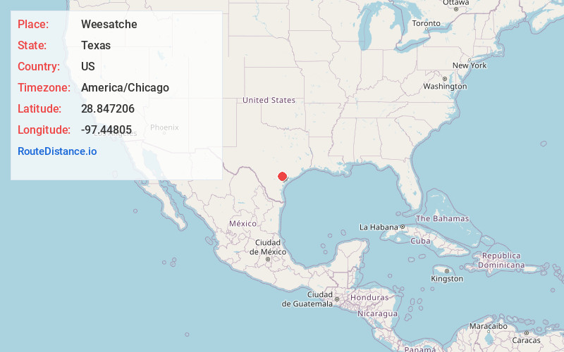
Full AddressWeesatche, TX 77963
-
Coordinates28.847206, -97.4480495
-
LocationWeesatche , Texas , US
-
TimezoneAmerica/Chicago
-
Current Local Time10:26:33 PM America/ChicagoSunday, June 29, 2025
-
Page Views0
About Weesatche
Weesatche is an unincorporated community in northern Goliad County, Texas, United States. It lies along State Highway 119 north of the city of Goliad, the county seat of Goliad County. Its elevation is 233 feet. Although Weesatche is unincorporated, it has a post office, with the ZIP code of 77993.


Nearby Places
Found 10 places within 50 miles

Upper Meyersville
7.9 mi
12.7 km
Upper Meyersville, TX 78164
Get directions

Yorktown
9.8 mi
15.8 km
Yorktown, TX 78164
Get directions
Meyersville
9.9 mi
15.9 km
Meyersville, TX 77954
Get directions

Nordheim
11.0 mi
17.7 km
Nordheim, TX 78141
Get directions
Charco
12.5 mi
20.1 km
Charco, TX 77963
Get directions

Goliad
12.9 mi
20.8 km
Goliad, TX 77963
Get directions
Schroeder
13.7 mi
22.0 km
Schroeder, TX 77963
Get directions
Arneckeville
14.6 mi
23.5 km
Arneckeville, TX 77954
Get directions
Melo
15.5 mi
24.9 km
Melo, TX 77963
Get directions

Mission Valley
15.8 mi
25.4 km
Mission Valley, TX 77905
Get directions
Location Links
Local Weather
Weather Information
Coming soon!
Location Map
Static map view of Weesatche, Texas
Browse Places by Distance
Places within specific distances from Weesatche
Short Distances
Long Distances
Click any distance to see all places within that range from Weesatche. Distances shown in miles (1 mile ≈ 1.61 kilometers).