Distance to Wehrum, Pennsylvania

Calculating Your Route
Just a moment while we process your request...
Location Information
-
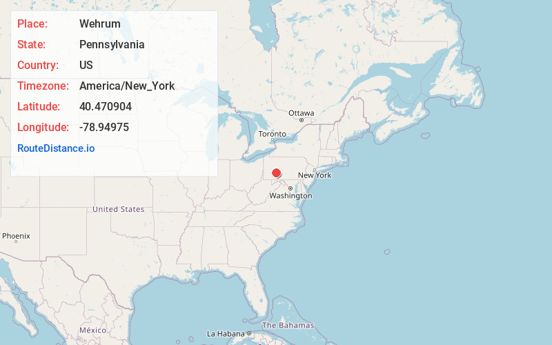
Full AddressWehrum, Buffington Township, PA 15961
-
Coordinates40.4709038, -78.9497497
-
LocationBuffington Township , Pennsylvania , US
-
TimezoneAmerica/New_York
-
Current Local Time4:33:44 PM America/New_YorkWednesday, May 21, 2025
-
Page Views0
About Wehrum
Wehrum is an abandoned coal mining company town in Buffington Township, Indiana County, Pennsylvania, United States, that thrived for a time during the early 20th century. The mine upon which it was entirely dependent closed in 1929, and the last known inhabitants left in 1934.
Nearby Places
Found 10 places within 50 miles

Vintondale
1.8 mi
2.9 km
Vintondale, PA
Get directions

Rexis
1.8 mi
2.9 km
Rexis, Buffington Township, PA 15748
Get directions

Dilltown
2.8 mi
4.5 km
Dilltown, PA 15954
Get directions

East Wheatfield Township
3.6 mi
5.8 km
East Wheatfield Township, PA
Get directions
Chickaree
4.0 mi
6.4 km
Chickaree, Jackson Township, PA 15909
Get directions
Boltz
4.4 mi
7.1 km
Boltz, PA 15954
Get directions
Armagh
4.5 mi
7.2 km
Armagh, PA 15920
Get directions
Twin Rocks
4.8 mi
7.7 km
Twin Rocks, PA
Get directions
Dias
5.0 mi
8.0 km
Dias, Brush Valley Township, PA 15748
Get directions
White Mill Crossing
5.0 mi
8.0 km
White Mill Crossing, Blacklick Township, PA 15957
Get directions
Location Links
Local Weather
Weather Information
Coming soon!
Location Map
Static map view of Wehrum, Pennsylvania
Browse Places by Distance
Places within specific distances from Wehrum
Short Distances
Long Distances
Click any distance to see all places within that range from Wehrum. Distances shown in miles (1 mile ≈ 1.61 kilometers).