Distance to Wekiwa Springs State Park, Florida

Calculating Your Route
Just a moment while we process your request...
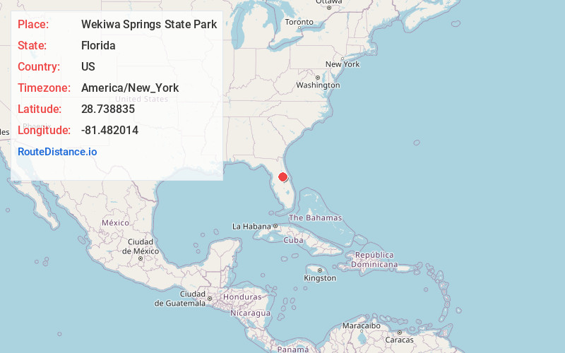
Location Information
-
Full AddressWekiwa Springs State Park, 1800 Wekiwa Cir, Apopka, FL 32712
-
Coordinates28.7388353, -81.4820144
-
Street1800 Wekiwa Cir
-
LocationApopka , Florida , US
-
TimezoneAmerica/New_York
-
Current Local Time8:06:50 PM America/New_YorkTuesday, June 3, 2025
-
Page Views0
About Wekiwa Springs State Park
Guided & self-guided canoe or kayak tours on the Wekiwa River with equipment rental available.


Nearby Places
Found 10 places within 50 miles

Apopka
4.4 mi
7.1 km
Apopka, FL
Get directions

Wekiwa Springs
4.6 mi
7.4 km
Wekiwa Springs, FL 32779
Get directions

Bay Ridge
4.9 mi
7.9 km
Bay Ridge, Apopka, FL 32712
Get directions
Ethel
5.0 mi
8.0 km
Ethel, FL 32776
Get directions

South Apopka
5.6 mi
9.0 km
South Apopka, FL 32703
Get directions

Forest City
5.6 mi
9.0 km
Forest City, FL
Get directions
Mt Plymouth
5.7 mi
9.2 km
Mt Plymouth, FL 32776
Get directions

Alaqua Lakes
5.7 mi
9.2 km
Alaqua Lakes, FL 32779
Get directions

Sorrento
6.9 mi
11.1 km
Sorrento, FL 32776
Get directions
Piedmont
7.1 mi
11.4 km
Piedmont, Lockhart, FL 32703
Get directions
Location Links
Local Weather
Weather Information
Coming soon!
Location Map
Static map view of Wekiwa Springs State Park, Florida
Browse Places by Distance
Places within specific distances from Wekiwa Springs State Park
Short Distances
Long Distances
Click any distance to see all places within that range from Wekiwa Springs State Park. Distances shown in miles (1 mile ≈ 1.61 kilometers).