Distance to Weld, Maine

Calculating Your Route
Just a moment while we process your request...
Location Information
-
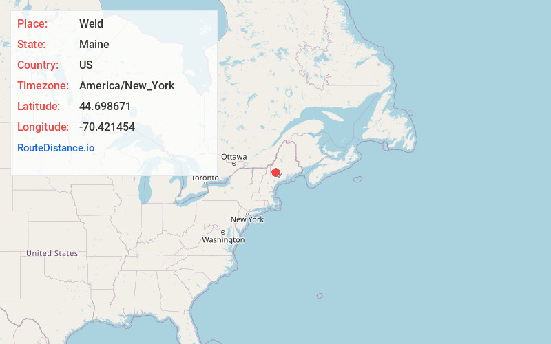
Full AddressWeld, ME 04285
-
Coordinates44.6986707, -70.4214542
-
LocationWeld , Maine , US
-
TimezoneAmerica/New_York
-
Current Local Time1:01:17 PM America/New_YorkMonday, June 2, 2025
-
Page Views0
About Weld
Weld is a town in Franklin County, Maine, United States. The population was 376 at the 2020 census. Set beside Webb Lake and almost surrounded by mountains, Weld is noted for its scenery. It is home to Mount Blue State Park, Camp Kawanhee for Boys, and Camp Lawroweld.


Nearby Places
Found 10 places within 50 miles

Carthage
4.9 mi
7.9 km
Carthage, ME
Get directions

Roxbury
8.7 mi
14.0 km
Roxbury, ME 04275
Get directions

Phillips
9.5 mi
15.3 km
Phillips, ME 04966
Get directions
Temple
9.6 mi
15.4 km
Temple, ME
Get directions

Avon
10.5 mi
16.9 km
Avon, ME 04966
Get directions

Mexico
11.5 mi
18.5 km
Mexico, ME
Get directions

Dixfield
11.7 mi
18.8 km
Dixfield, ME 04224
Get directions

Rumford
11.9 mi
19.2 km
Rumford, ME 04276
Get directions

Wilton
12.0 mi
19.3 km
Wilton, ME
Get directions

Strong
12.4 mi
20.0 km
Strong, ME 04983
Get directions
Location Links
Local Weather
Weather Information
Coming soon!
Location Map
Static map view of Weld, Maine
Browse Places by Distance
Places within specific distances from Weld
Short Distances
Long Distances
Click any distance to see all places within that range from Weld. Distances shown in miles (1 mile ≈ 1.61 kilometers).