Distance to Welda, Kansas

Calculating Your Route
Just a moment while we process your request...
Location Information
-
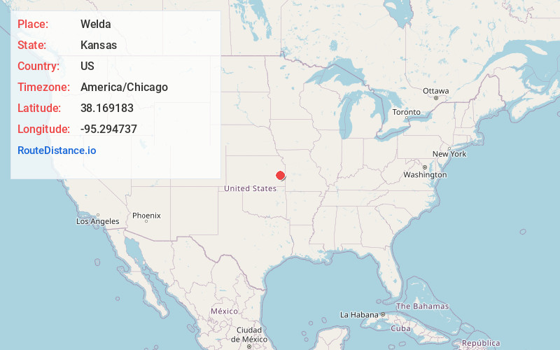
Full AddressWelda, KS 66091
-
Coordinates38.1691825, -95.2947365
-
LocationWelda , Kansas , US
-
TimezoneAmerica/Chicago
-
Current Local Time12:10:58 AM America/ChicagoMonday, June 16, 2025
-
Page Views0
About Welda
Welda is a census-designated place in Welda Township, Anderson County, Kansas, United States. As of the 2020 census, the population was 149.
Nearby Places
Found 10 places within 50 miles

Colony
7.8 mi
12.6 km
Colony, KS 66015
Get directions

Garnett
8.2 mi
13.2 km
Garnett, KS 66032
Get directions
Westphalia
10.7 mi
17.2 km
Westphalia, KS 66093
Get directions
Richmond
16.3 mi
26.2 km
Richmond, KS 66080
Get directions
Greeley
16.4 mi
26.4 km
Greeley, KS 66033
Get directions
Blue Mound
16.6 mi
26.7 km
Blue Mound, KS 66010
Get directions

Gas
17.2 mi
27.7 km
Gas, KS 66749
Get directions

La Harpe
17.4 mi
28.0 km
La Harpe, KS 66751
Get directions

Iola
17.9 mi
28.8 km
Iola, KS 66749
Get directions
Moran
18.8 mi
30.3 km
Moran, KS 66755
Get directions
Location Links
Local Weather
Weather Information
Coming soon!
Location Map
Static map view of Welda, Kansas
Browse Places by Distance
Places within specific distances from Welda
Short Distances
Long Distances
Click any distance to see all places within that range from Welda. Distances shown in miles (1 mile ≈ 1.61 kilometers).