Distance to Wells, Mississippi

Calculating Your Route
Just a moment while we process your request...
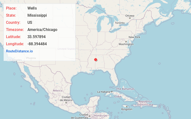
Location Information
-
Full AddressWells, MS 39705
-
Coordinates33.5978944, -88.3944837
-
LocationMississippi , US
-
TimezoneAmerica/Chicago
-
Current Local Time2:23:52 AM America/ChicagoFriday, June 20, 2025
-
Page Views0
About Wells
Wells is an unincorporated community in Lowndes County, Mississippi.
Wells is located north of Columbus. According to the United States Geological Survey, a variant name is Marx.
Nearby Places
Found 10 places within 50 miles

Columbus AFB
3.7 mi
6.0 km
Columbus AFB, MS
Get directions

Kolola Springs
4.0 mi
6.4 km
Kolola Springs, MS 39740
Get directions
Woodlawn
5.0 mi
8.0 km
Woodlawn, MS 39766
Get directions
Steens
5.1 mi
8.2 km
Steens, MS 39766
Get directions

Caledonia
7.1 mi
11.4 km
Caledonia, MS 39740
Get directions

Columbus
7.3 mi
11.7 km
Columbus, MS
Get directions
Vinton
8.5 mi
13.7 km
Vinton, MS 39773
Get directions
Hamilton
9.9 mi
15.9 km
Hamilton, MS 39746
Get directions
New Hamilton
10.0 mi
16.1 km
New Hamilton, MS 39746
Get directions
New Hope
11.2 mi
18.0 km
New Hope, MS 39702
Get directions
Location Links
Local Weather
Weather Information
Coming soon!
Location Map
Static map view of Wells, Mississippi
Browse Places by Distance
Places within specific distances from Wells
Short Distances
Long Distances
Click any distance to see all places within that range from Wells. Distances shown in miles (1 mile ≈ 1.61 kilometers).