Distance to Wells, South Carolina

Calculating Your Route
Just a moment while we process your request...
Location Information
-
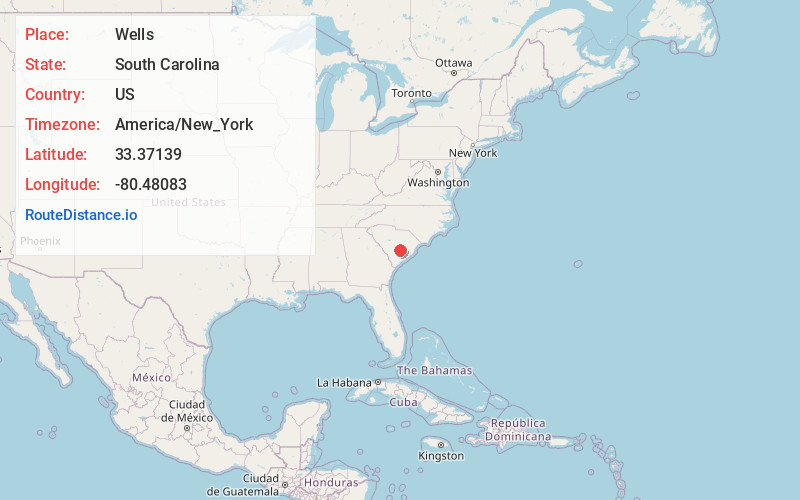
Full AddressWells, SC 29059
-
Coordinates33.37139, -80.48083
-
LocationWells , South Carolina , US
-
TimezoneAmerica/New_York
-
Current Local Time5:37:25 PM America/New_YorkTuesday, June 17, 2025
-
Page Views0
About Wells
Wells is an unincorporated community in Orangeburg County, South Carolina, United States. Wells is located at the junction of U.S. Route 15 and U.S. Route 176, northwest of Holly Hill.
Nearby Places
Found 10 places within 50 miles

Providence
3.8 mi
6.1 km
Providence, SC 29059
Get directions

Holly Hill
5.1 mi
8.2 km
Holly Hill, SC 29059
Get directions
Vance
5.5 mi
8.9 km
Vance, SC 29163
Get directions
Bowyer
5.7 mi
9.2 km
Bowyer, SC 29059
Get directions
Whetsell
6.8 mi
10.9 km
Whetsell, SC 29018
Get directions
Four Holes
7.0 mi
11.3 km
Four Holes, SC 29059
Get directions

Santee
7.2 mi
11.6 km
Santee, SC 29142
Get directions

Eutawville
7.9 mi
12.7 km
Eutawville, SC 29048
Get directions
Giant
9.5 mi
15.3 km
Giant, SC 29448
Get directions
Partersville
9.8 mi
15.8 km
Partersville, SC 29142
Get directions
Location Links
Local Weather
Weather Information
Coming soon!
Location Map
Static map view of Wells, South Carolina
Browse Places by Distance
Places within specific distances from Wells
Short Distances
Long Distances
Click any distance to see all places within that range from Wells. Distances shown in miles (1 mile ≈ 1.61 kilometers).