Distance to Wells Township, Ohio

Calculating Your Route
Just a moment while we process your request...
Location Information
-
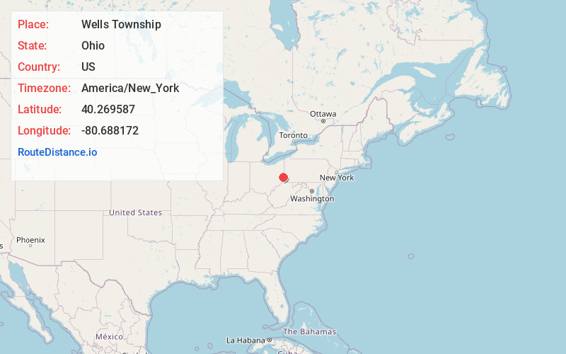
Full AddressWells Township, OH
-
Coordinates40.2695868, -80.6881718
-
LocationWells Township , Ohio , US
-
TimezoneAmerica/New_York
-
Current Local Time11:52:28 AM America/New_YorkSunday, June 22, 2025
-
Page Views0
About Wells Township
Wells Township is one of the fourteen townships of Jefferson County, Ohio, United States. The 2020 census found 2,491 people in the township.


Nearby Places
Found 10 places within 50 miles

Buckingham Ridge
0.7 mi
1.1 km
Buckingham Ridge, Wells Township, OH 43938
Get directions
New Alexandria
1.5 mi
2.4 km
New Alexandria, OH 43938
Get directions
Salt Run
1.9 mi
3.1 km
Salt Run, Wells Township, OH 43943
Get directions
Limestone Hollow
2.6 mi
4.2 km
Limestone Hollow, Wells Township, OH 43943
Get directions
Valley Glen
2.7 mi
4.3 km
Valley Glen, Cross Creek Township, OH 43938
Get directions
Stringer
2.9 mi
4.7 km
Stringer, Wells Township, OH 43943
Get directions
Kolmont
3.3 mi
5.3 km
Kolmont, Cross Creek Township, OH 43938
Get directions
Brilliant
3.3 mi
5.3 km
Brilliant, OH 43913
Get directions
Beech Bottom
3.6 mi
5.8 km
Beech Bottom, WV
Get directions
Georges Run
3.9 mi
6.3 km
Georges Run, OH 43938
Get directions
Location Links
Local Weather
Weather Information
Coming soon!
Location Map
Static map view of Wells Township, Ohio
Browse Places by Distance
Places within specific distances from Wells Township
Short Distances
Long Distances
Click any distance to see all places within that range from Wells Township. Distances shown in miles (1 mile ≈ 1.61 kilometers).