Distance to West Branch Township, Pennsylvania

Calculating Your Route
Just a moment while we process your request...
Location Information
-
Full AddressWest Branch Township, PA
-
Coordinates41.6805365, -77.7680952
-
LocationWest Branch Township , Pennsylvania , US
-
TimezoneAmerica/New_York
-
Current Local Time3:56:38 PM America/New_YorkSaturday, June 28, 2025
-
Page Views0
About West Branch Township
West Branch Township is a township in Potter County, Pennsylvania, United States. The population was 399 at the 2020 census. There are two Pennsylvania state parks in West Branch Township. Cherry Springs State Park is a popular destination for astronomical observation.
Nearby Places
Found 10 places within 50 miles

Corbett
0.4 mi
0.6 km
Corbett, West Branch Township, PA 16922
Get directions
Burrows
1.3 mi
2.1 km
Burrows, West Branch Township, PA 16922
Get directions

Potter County
3.6 mi
5.8 km
Potter County, PA
Get directions
Germania
6.0 mi
9.7 km
Germania, Abbott Township, PA 16922
Get directions
Short Run
6.3 mi
10.1 km
Short Run, Abbott Township, PA 16922
Get directions
Abbott
6.8 mi
10.9 km
Abbott, PA 16922
Get directions
Telescope
7.1 mi
11.4 km
Telescope, Ulysses Township, PA 16922
Get directions

Galeton
7.5 mi
12.1 km
Galeton, PA 16922
Get directions
Walton
7.6 mi
12.2 km
Walton, Ulysses Township, PA 16948
Get directions
Conrad
8.0 mi
12.9 km
Conrad, Wharton Township, PA 16720
Get directions
Location Links
Local Weather
Weather Information
Coming soon!
Location Map
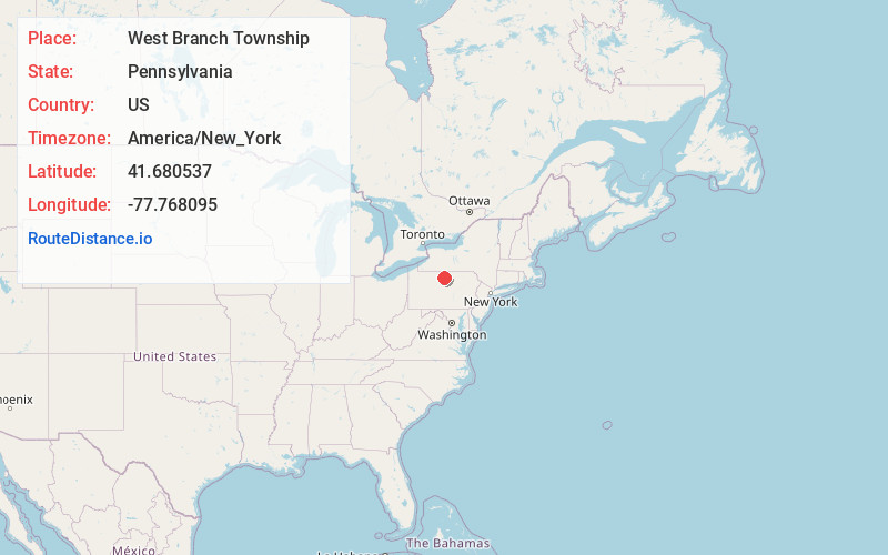
Static map view of West Branch Township, Pennsylvania
Browse Places by Distance
Places within specific distances from West Branch Township
Short Distances
Long Distances
Click any distance to see all places within that range from West Branch Township. Distances shown in miles (1 mile ≈ 1.61 kilometers).