Distance to West Carroll Township, Pennsylvania

Calculating Your Route
Just a moment while we process your request...
Location Information
-
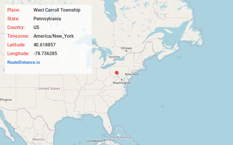
Full AddressWest Carroll Township, PA
-
Coordinates40.6188565, -78.7362845
-
LocationWest Carroll Township , Pennsylvania , US
-
TimezoneAmerica/New_York
-
Current Local Time10:12:14 AM America/New_YorkSaturday, June 7, 2025
-
Page Views0
About West Carroll Township
West Carroll Township is a township in Cambria County, Pennsylvania, United States and consists of the communities of Bakerton, Barnes, Carrolltown Road, Elmora and St. Benedict. The population was 1,296 at the 2010 census. It is part of the Johnstown, Pennsylvania Metropolitan Statistical Area.
Nearby Places
Found 10 places within 50 miles

Northern Cambria
3.7 mi
6.0 km
Northern Cambria, PA
Get directions

Barr Township
3.7 mi
6.0 km
Barr Township, PA
Get directions

East Carroll Township
3.9 mi
6.3 km
East Carroll Township, PA
Get directions

Patton
4.6 mi
7.4 km
Patton, PA 16668
Get directions
Cambria County
9.0 mi
14.5 km
Cambria County, PA
Get directions

Ebensburg
9.3 mi
15.0 km
Ebensburg, PA 15931
Get directions
Loretto
9.7 mi
15.6 km
Loretto, PA 15940
Get directions

Green Township
10.0 mi
16.1 km
Green Township, PA
Get directions

Nanty-Glo
11.3 mi
18.2 km
Nanty-Glo, PA 15943
Get directions
Mundys Corner
13.3 mi
21.4 km
Mundys Corner, PA
Get directions
Location Links
Local Weather
Weather Information
Coming soon!
Location Map
Static map view of West Carroll Township, Pennsylvania
Browse Places by Distance
Places within specific distances from West Carroll Township
Short Distances
Long Distances
Click any distance to see all places within that range from West Carroll Township. Distances shown in miles (1 mile ≈ 1.61 kilometers).