Distance to West Charleston, Vermont

Calculating Your Route
Just a moment while we process your request...
Location Information
-
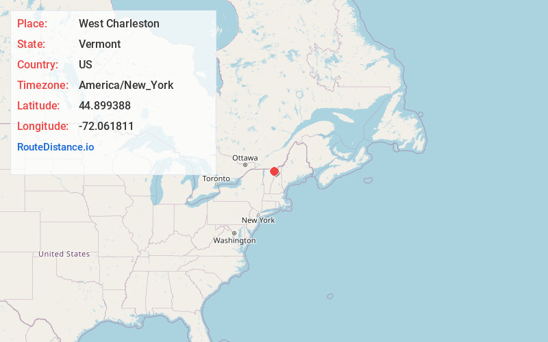
Full AddressWest Charleston, Charleston, VT
-
Coordinates44.899388, -72.061811
-
NeighborhoodWest Charleston
-
LocationCharleston , Vermont , US
-
TimezoneAmerica/New_York
-
Current Local Time7:52:20 AM America/New_YorkMonday, June 2, 2025
-
Page Views0
About West Charleston
West Charleston is an unincorporated village in the town of Charleston, Orleans County, Vermont, United States. The community is located along Vermont Route 5A and Vermont Route 105 5 miles southeast of Derby Center. West Charleston has a post office with ZIP code 05872.
Nearby Places
Found 10 places within 50 miles

Charleston
4.1 mi
6.6 km
Charleston, VT
Get directions

Morgan
4.3 mi
6.9 km
Morgan, VT
Get directions

Derby
5.1 mi
8.2 km
Derby, VT
Get directions

Holland
5.6 mi
9.0 km
Holland, VT
Get directions

Brownington
6.7 mi
10.8 km
Brownington, VT
Get directions

Newport
7.5 mi
12.1 km
Newport, VT 05855
Get directions

Westmore
8.8 mi
14.2 km
Westmore, VT
Get directions

Orleans County
9.7 mi
15.6 km
Orleans County, VT
Get directions

Coventry
10.0 mi
16.1 km
Coventry, VT
Get directions

Barton
11.9 mi
19.2 km
Barton, VT
Get directions
Location Links
Local Weather
Weather Information
Coming soon!
Location Map
Static map view of West Charleston, Vermont
Browse Places by Distance
Places within specific distances from West Charleston
Short Distances
Long Distances
Click any distance to see all places within that range from West Charleston. Distances shown in miles (1 mile ≈ 1.61 kilometers).