Distance to West End, District of Columbia

Calculating Your Route
Just a moment while we process your request...
Location Information
-
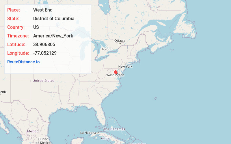
Full AddressWest End, Washington, DC
-
Coordinates38.9068048, -77.0521289
-
NeighborhoodFort Lesley J. McNair
-
LocationWashington , District of Columbia , US
-
TimezoneAmerica/New_York
-
Current Local Time1:02:06 AM America/New_YorkSunday, June 22, 2025
-
Page Views0
About West End
The West End is a neighborhood in the Northwest quadrant of Washington, D.C., bounded by K Street NW to the south, Rock Creek Park to the west and north, and New Hampshire Avenue NW and 23rd Street NW to the east.
Nearby Places
Found 10 places within 50 miles

Washington
0.8 mi
1.3 km
Washington, DC
Get directions

Arlington National Cemetery
2.3 mi
3.7 km
Arlington National Cemetery, Arlington, VA
Get directions

Brookdale
4.2 mi
6.8 km
Brookdale, Bethesda, MD 20815
Get directions
Country Club Hills
4.3 mi
6.9 km
Country Club Hills, Arlington, VA 22207
Get directions

Friendship Heights Village
4.4 mi
7.1 km
Friendship Heights Village, MD 20815
Get directions

Brookmont
4.4 mi
7.1 km
Brookmont, MD
Get directions
Green Acres
4.5 mi
7.2 km
Green Acres, Bethesda, MD 20816
Get directions
Chesterbrook Estates
4.6 mi
7.4 km
Chesterbrook Estates, McLean, VA 22101
Get directions
Somerset
4.7 mi
7.6 km
Somerset, MD
Get directions
Sumner
4.8 mi
7.7 km
Sumner, Bethesda, MD 20816
Get directions
Location Links
Local Weather
Weather Information
Coming soon!
Location Map
Static map view of West End, District of Columbia
Browse Places by Distance
Places within specific distances from West End
Short Distances
Long Distances
Click any distance to see all places within that range from West End. Distances shown in miles (1 mile ≈ 1.61 kilometers).