Distance to West Hatton, Maryland

Calculating Your Route
Just a moment while we process your request...
Location Information
-
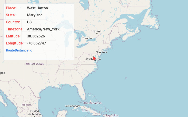
Full AddressWest Hatton, MD 20664
-
Coordinates38.3626263, -76.8627474
-
LocationWest Hatton , Maryland , US
-
TimezoneAmerica/New_York
-
Current Local Time9:49:30 AM America/New_YorkTuesday, June 24, 2025
-
Page Views0
Nearby Places
Found 10 places within 50 miles

Indiantown
1.5 mi
2.4 km
Indiantown, MD 20659
Get directions
Mt Victoria
1.9 mi
3.1 km
Mt Victoria, MD 20664
Get directions

Wicomico Shores
2.0 mi
3.2 km
Wicomico Shores, MD 20659
Get directions
Woodberry Beach
2.8 mi
4.5 km
Woodberry Beach, MD 20664
Get directions
Coffee Hill
2.9 mi
4.7 km
Coffee Hill, MD 20659
Get directions
Tompkinsville
3.2 mi
5.1 km
Tompkinsville, MD 20661
Get directions

Budds Creek
3.3 mi
5.3 km
Budds Creek, Maryland
Get directions
Shiloh
3.4 mi
5.5 km
Shiloh, MD 20664
Get directions

Maddox
3.5 mi
5.6 km
Maddox, MD 20621
Get directions
Wicomico
3.6 mi
5.8 km
Wicomico, MD 20622
Get directions
Location Links
Local Weather
Weather Information
Coming soon!
Location Map
Static map view of West Hatton, Maryland
Browse Places by Distance
Places within specific distances from West Hatton
Short Distances
Long Distances
Click any distance to see all places within that range from West Hatton. Distances shown in miles (1 mile ≈ 1.61 kilometers).