Distance to West Hempstead, New York

Calculating Your Route
Just a moment while we process your request...
Location Information
-
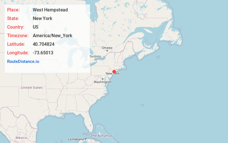
Full AddressWest Hempstead, NY
-
Coordinates40.7048242, -73.6501295
-
LocationWest Hempstead , New York , US
-
TimezoneAmerica/New_York
-
Current Local Time7:08:17 PM America/New_YorkWednesday, June 4, 2025
-
Page Views0
About West Hempstead
West Hempstead is a hamlet and census-designated place in the Town of Hempstead in Nassau County, on Long Island, in New York, United States. The population was 19,835 at the time of the 2020 census. It is an unincorporated area in the Town of Hempstead and is represented by Councilman Edward Ambrosino.


Nearby Places
Found 10 places within 50 miles

Franklin Square
1.4 mi
2.3 km
Franklin Square, NY
Get directions

Garden City
1.7 mi
2.7 km
Garden City, NY
Get directions

Uniondale
3.0 mi
4.8 km
Uniondale, NY
Get directions

Mineola
3.1 mi
5.0 km
Mineola, NY 11501
Get directions

North Hempstead
3.1 mi
5.0 km
North Hempstead, NY
Get directions

Baldwin
4.1 mi
6.6 km
Baldwin, NY
Get directions

Valley Stream
4.1 mi
6.6 km
Valley Stream, NY
Get directions

Oceanside
4.6 mi
7.4 km
Oceanside, NY
Get directions

Freeport
4.8 mi
7.7 km
Freeport, NY
Get directions

East Meadow
4.8 mi
7.7 km
East Meadow, NY
Get directions
Location Links
Local Weather
Weather Information
Coming soon!
Location Map
Static map view of West Hempstead, New York
Browse Places by Distance
Places within specific distances from West Hempstead
Short Distances
Long Distances
Click any distance to see all places within that range from West Hempstead. Distances shown in miles (1 mile ≈ 1.61 kilometers).