Distance to West Kingston, Rhode Island

Calculating Your Route
Just a moment while we process your request...
Location Information
-
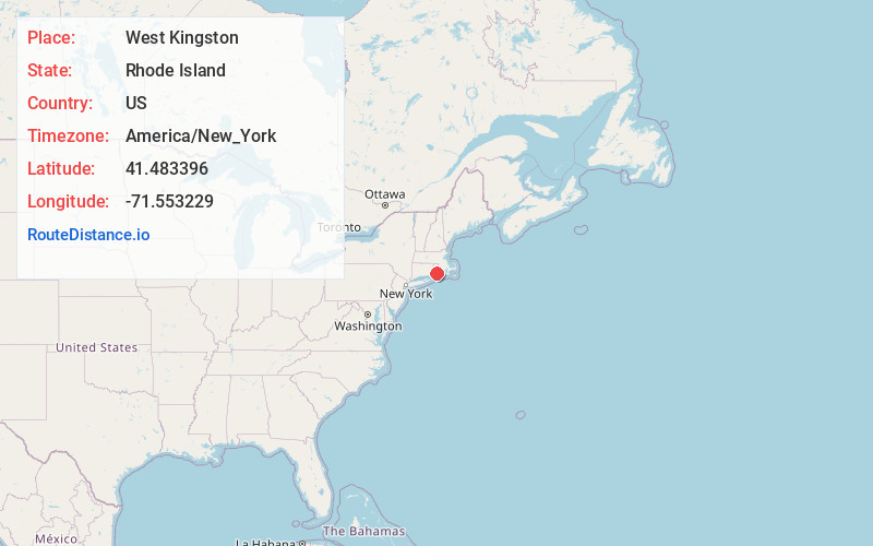
Full AddressWest Kingston, South Kingstown, RI 02892
-
Coordinates41.4833962, -71.5532291
-
NeighborhoodWest Kingston
-
LocationSouth Kingstown , Rhode Island , US
-
TimezoneAmerica/New_York
-
Current Local Time6:46:14 PM America/New_YorkWednesday, June 4, 2025
-
Page Views1
About West Kingston
West Kingston is an unincorporated village and traditional county seat of Washington County, Rhode Island, United States. It is the site of the Kingston Railroad Station Amtrak station, and is a part of the Town of South Kingstown.
Nearby Places
Found 10 places within 50 miles

Mooresfield
3.4 mi
5.5 km
Mooresfield, South Kingstown, RI 02879
Get directions
Tuckertown
3.7 mi
6.0 km
Tuckertown, South Kingstown, RI 02879
Get directions

South Kingstown
3.9 mi
6.3 km
South Kingstown, RI
Get directions
Liberty
4.1 mi
6.6 km
Liberty, Exeter, RI 02822
Get directions
Indian Lake Shores
4.8 mi
7.7 km
Indian Lake Shores, South Kingstown, RI 02879
Get directions
Hillsdale
5.2 mi
8.4 km
Hillsdale, Richmond, RI 02892
Get directions
Columbia Heights
5.2 mi
8.4 km
Columbia Heights, Charlestown, RI 02813
Get directions
Pettaquamscutt Lake Shores
5.6 mi
9.0 km
Pettaquamscutt Lake Shores, Narragansett, RI 02882
Get directions
Bridgetown
5.6 mi
9.0 km
Bridgetown, Narragansett, RI 02882
Get directions
Fisherville
5.6 mi
9.0 km
Fisherville, Exeter, RI 02822
Get directions
Location Links
Local Weather
Weather Information
Coming soon!
Location Map
Static map view of West Kingston, Rhode Island
Browse Places by Distance
Places within specific distances from West Kingston
Short Distances
Long Distances
Click any distance to see all places within that range from West Kingston. Distances shown in miles (1 mile ≈ 1.61 kilometers).