Distance to West Kootenai, Montana

Calculating Your Route
Just a moment while we process your request...
Location Information
-
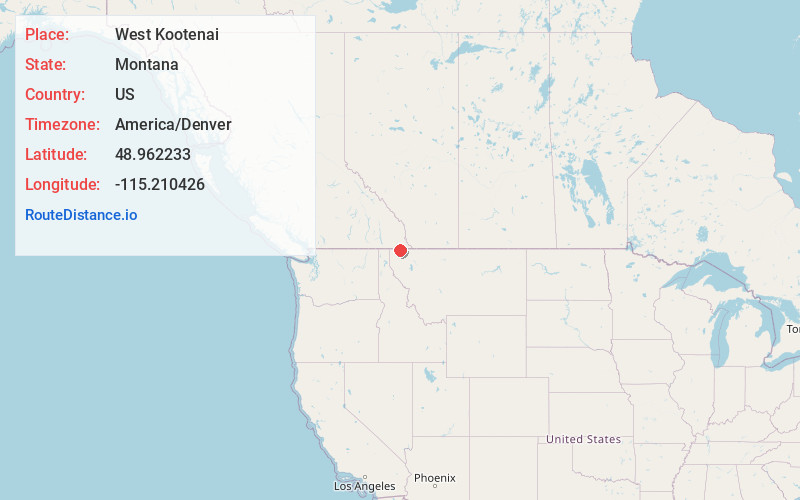
Full AddressWest Kootenai, MT 59930
-
Coordinates48.9622332, -115.210426
-
LocationWest Kootenai , Montana , US
-
TimezoneAmerica/Denver
-
Current Local Time1:50:54 AM America/DenverWednesday, June 4, 2025
-
Page Views0
About West Kootenai
West Kootenai is a census-designated place in Lincoln County, Montana, United States. The population was 365 at the 2010 census.
Nearby Places
Found 9 places within 50 miles

Eureka
9.1 mi
14.6 km
Eureka, MT
Get directions

Fortine
19.6 mi
31.5 km
Fortine, MT
Get directions

Trego
23.6 mi
38.0 km
Trego, MT
Get directions

Yaak
24.3 mi
39.1 km
Yaak, MT 59935
Get directions

Libby
42.7 mi
68.7 km
Libby, MT 59923
Get directions

White Haven
44.9 mi
72.3 km
White Haven, MT 59923
Get directions

Pioneer Junction
45.5 mi
73.2 km
Pioneer Junction, MT 59923
Get directions

Troy
46.3 mi
74.5 km
Troy, MT 59935
Get directions

Moyie Springs
47.4 mi
76.3 km
Moyie Springs, ID 83845
Get directions
Location Links
Local Weather
Weather Information
Coming soon!
Location Map
Static map view of West Kootenai, Montana
Browse Places by Distance
Places within specific distances from West Kootenai
Short Distances
Long Distances
Click any distance to see all places within that range from West Kootenai. Distances shown in miles (1 mile ≈ 1.61 kilometers).