Distance to West Long Branch, New Jersey

Calculating Your Route
Just a moment while we process your request...
Location Information
-
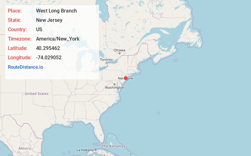
Full AddressWest Long Branch, NJ
-
Coordinates40.2954621, -74.0290518
-
LocationWest Long Branch , New Jersey , US
-
TimezoneAmerica/New_York
-
Current Local Time8:38:00 PM America/New_YorkTuesday, June 17, 2025
-
Website
-
Page Views0
About West Long Branch
West Long Branch is a borough situated within the Jersey Shore region, in Monmouth County, in the U.S. state of New Jersey.


Nearby Places
Found 10 places within 50 miles

Eatontown
1.3 mi
2.1 km
Eatontown, NJ
Get directions

Long Branch
2.9 mi
4.7 km
Long Branch, NJ 07740
Get directions

Ocean Township
3.1 mi
5.0 km
Ocean Township, NJ
Get directions

Tinton Falls
3.5 mi
5.6 km
Tinton Falls, NJ
Get directions

Red Bank
4.4 mi
7.1 km
Red Bank, NJ 07701
Get directions

Asbury Park
5.3 mi
8.5 km
Asbury Park, NJ 07712
Get directions

Neptune Township
5.9 mi
9.5 km
Neptune Township, NJ
Get directions

Colts Neck
7.6 mi
12.2 km
Colts Neck, NJ
Get directions

Middletown Township
7.8 mi
12.6 km
Middletown Township, NJ
Get directions

Wall Township
9.3 mi
15.0 km
Wall Township, NJ
Get directions
Location Links
Local Weather
Weather Information
Coming soon!
Location Map
Static map view of West Long Branch, New Jersey
Browse Places by Distance
Places within specific distances from West Long Branch
Short Distances
Long Distances
Click any distance to see all places within that range from West Long Branch. Distances shown in miles (1 mile ≈ 1.61 kilometers).